Kičevo night lights from space
Night Light of Kičevo (Kichevo) from space (North Macedonia) Src. Average luminocity for 10x10km area is 9.0748% and for 50x50km: 0.5624%.
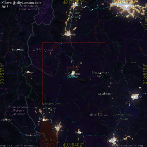
Analysis of Kičevo night lights 2016
Square area 10x10 km:
 1.19%
1.19%90-99
0.85%80-89
2.04%70-79
0.34%60-69
1.7%50-59
0.68%40-49
2.55%30-39
0.85%20-29
0.68%10-19
0.68%0-9
88.44%Square area 50x50 km:
0.04%90-99
0.04%80-89
0.11%70-79
0.01%60-69
0.09%50-59
0.06%40-49
0.2%30-39
0.13%20-29
0.11%10-19
0.08%0-9
99.11%Clear (daylight) street map image can be seen on geolist.org.
Map coordinates:
42° 2' 13.3" North, 20° 15' 20.7" East
41° 30' 45.6" North, 20° 57' 31.9" East
40° 59' 2.5" North, 21° 39' 43.2" East
Some cities around Kičevo sort by population:
• Zajas
10.7 km =6.6 mi,  350°
350°
• Dolna Banjica
30.7 km =19.1 mi, 351°
• Rostusa
31.8 km =19.8 mi,  289°
289°
• Vrutok
30.1 km =18.7 mi,  340°
340°
• Makedonski Brod
21.3 km =13.2 mi,  89°
89°
• Krusevo
29 km =18 mi,  123°
123°
• Plasnica
14.6 km =9.1 mi,  110°
110°
• Belčišta
25.7 km =16 mi,  204°
204°
789527 (p: 31,123)
Sources (retrieved 2019-11-25):
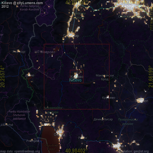
» Earth at Night: Flat Maps 2012, 2016