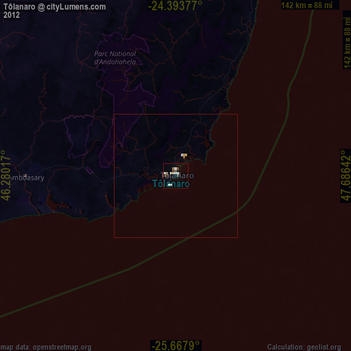
Tôlanaro night lights from space
Night Light of Tôlanaro (Anosy) from space (Madagascar) Src. Average luminocity for 10x10km area is 10.1345% and for 50x50km: 0.5532%.
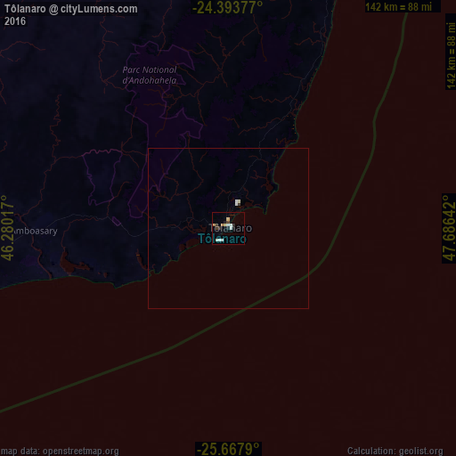
Analysis of Tôlanaro night lights 2016
Square area 10x10 km:
 1.14%
1.14%90-99
3.41%80-89
0.76%70-79
0.76%60-69
1.52%50-59
0%40-49
0.19%30-39
1.52%20-29
2.46%10-19
1.33%0-9
86.93%Square area 50x50 km:
0.08%90-99
0.19%80-89
0.04%70-79
0.03%60-69
0.06%50-59
0%40-49
0.01%30-39
0.09%20-29
0.1%10-19
0.05%0-9
99.34%Clear (daylight) street map image can be seen on geolist.org.
Map coordinates:
24° 23' 37.6" South, 46° 16' 48.6" East
25° 1' 57" South, 46° 58' 59.8" East
25° 40' 4.4" South, 47° 41' 11.1" East
Some cities around Tôlanaro sort by population:
• Ambovombe
91.7 km =57 mi,  259°
259°
• Amboasary
60.4 km =37.5 mi,  269°
269°
• Tsiombe
153.9 km =95.6 mi, 258°
• Vohipaho
173 km =107.5 mi,  17°
17°
• Vangaindrano
197.3 km =122.6 mi, 18°
• Beloha
195.2 km =121.3 mi, 265°
• Kopoky
180.5 km =112.2 mi, 264°
• Beteza
199.3 km =123.8 mi,  288°
288°
1055433 (p: 45,141)
Sources (retrieved 2019-11-25):
» Earth at Night: Flat Maps 2012, 2016