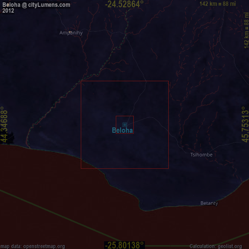
Beloha night lights from space
Night Light of Beloha (Androy) from space (Madagascar) Src. Average luminocity for 10x10km area is 2.6865% and for 50x50km: 0.6812%.
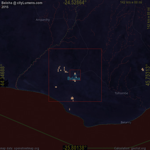
Analysis of Beloha night lights 2016
Square area 10x10 km:
 0%
0%90-99
0%80-89
0%70-79
0.4%60-69
2.18%50-59
0.99%40-49
0%30-39
0%20-29
0%10-19
0%0-9
96.43%Square area 50x50 km:
0%90-99
0%80-89
0.03%70-79
0.06%60-69
0.26%50-59
0.31%40-49
0.27%30-39
0.12%20-29
0%10-19
0%0-9
98.94%Clear (daylight) street map image can be seen on geolist.org.
Map coordinates:
24° 31' 43.1" South, 44° 20' 48.8" East
25° 10' 0" South, 45° 3' 0" East
25° 48' 5" South, 45° 45' 11.3" East
Some cities around Beloha sort by population:
• Ambovombe
104.4 km =64.9 mi,  90°
90°
• Amboasary
135.1 km =83.9 mi,  83°
83°
• Betioky
174.5 km =108.4 mi,  337°
337°
• Tsiombe
46 km =28.6 mi,  108°
108°
• Ampanihy
60.9 km =37.8 mi,  329°
329°
• Kopoky
15.5 km =9.6 mi,  103°
103°
• Tranovaho
17 km =10.6 mi,  209°
209°
• Beteza
80 km =49.7 mi,  4°
4°
1067565 (p: 23,021)
Sources (retrieved 2019-11-25):
» Earth at Night: Flat Maps 2012, 2016