Kopoky night lights from space
Night Light of Kopoky (Androy) from space (Madagascar) Src. Average luminocity for 10x10km area is 0% and for 50x50km: 0.4561%.
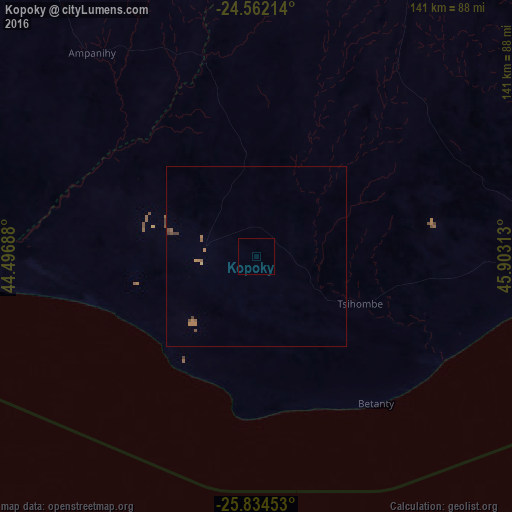
Analysis of Kopoky night lights 2016
Square area 10x10 km:
 0%
0%90-99
0%80-89
0%70-79
0%60-69
0%50-59
0%40-49
0%30-39
0%20-29
0%10-19
0%0-9
100%Square area 50x50 km:
0%90-99
0%80-89
0.03%70-79
0.03%60-69
0.23%50-59
0.15%40-49
0.17%30-39
0.11%20-29
0%10-19
0%0-9
99.28%Clear (daylight) street map image can be seen on geolist.org.
Map coordinates:
24° 33' 43.7" South, 44° 29' 48.8" East
25° 12' 0" South, 45° 12' 0" East
25° 50' 4.3" South, 45° 54' 11.3" East
Some cities around Kopoky sort by population:
• Ambovombe
89.3 km =55.5 mi,  88°
88°
• Tôlanaro
180.5 km =112.2 mi,  84°
84°
• Amboasary
120.6 km =74.9 mi, 81°
• Tsiombe
30.6 km =19 mi,  111°
111°
• Ampanihy
72.6 km =45.1 mi,  320°
320°
• Beloha
15.5 km =9.6 mi,  283°
283°
• Tranovaho
26 km =16.2 mi,  244°
244°
• Beteza
83.8 km =52.1 mi,  354°
354°
1063368 (p: 15,000)
Sources (retrieved 2019-11-25):
» Earth at Night: Flat Maps 2012, 2016