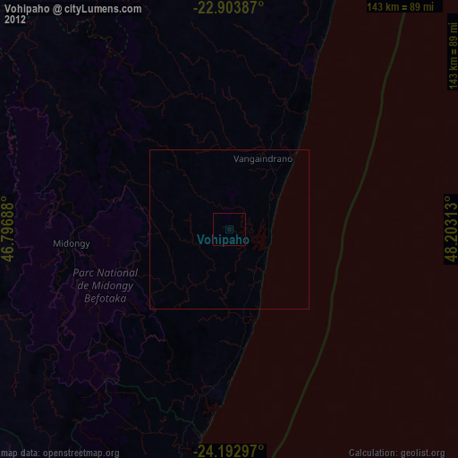
Vohipaho night lights from space
Night Light of Vohipaho (Atsimo-Atsinanana) from space (Madagascar) Src. Average luminocity for 10x10km area is 0% and for 50x50km: 0%.
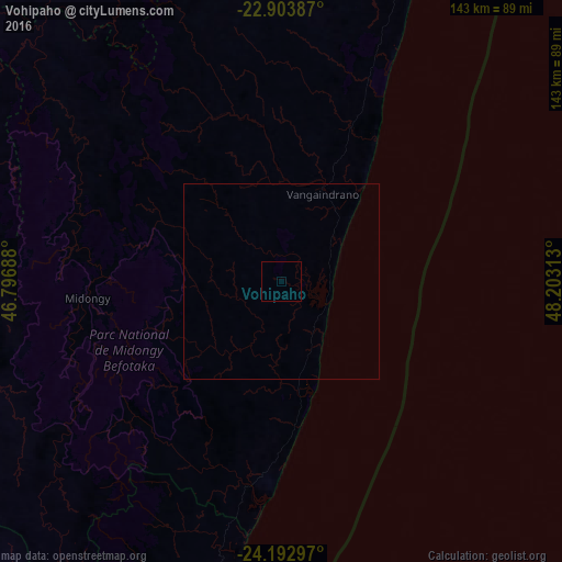
Analysis of Vohipaho night lights 2016
Square area 10x10 km:
 0%
0%90-99
0%80-89
0%70-79
0%60-69
0%50-59
0%40-49
0%30-39
0%20-29
0%10-19
0%0-9
100%Square area 50x50 km:
0%90-99
0%80-89
0%70-79
0%60-69
0%50-59
0%40-49
0%30-39
0%20-29
0%10-19
0%0-9
100%Clear (daylight) street map image can be seen on geolist.org.
Map coordinates:
22° 54' 13.9" South, 46° 47' 48.8" East
23° 33' 0" South, 47° 30' 0" East
24° 11' 34.7" South, 48° 12' 11.3" East
Some cities around Vohipaho sort by population:
• Tôlanaro
173 km =107.5 mi,  197°
197°
• Manakara
164.4 km =102.2 mi,  18°
18°
• Farafangana
87.5 km =54.4 mi, 22°
• Vangaindrano
24.5 km =15.2 mi, 24°
• Vondrozo
84.5 km =52.5 mi,  344°
344°
• Amboanjo
176 km =109.4 mi,  11°
11°
• Ifatsy
130.4 km =81 mi, 11°
• Manato
127.9 km =79.5 mi,  359°
359°
1053778 (p: 27,000)
Sources (retrieved 2019-11-25):
» Earth at Night: Flat Maps 2012, 2016