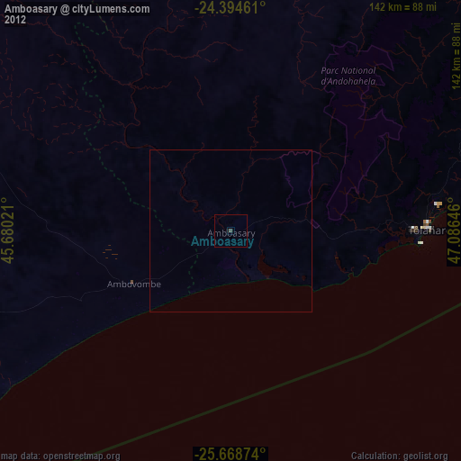
Amboasary night lights from space
Night Light of Amboasary (Anosy) from space (Madagascar) Src. Average luminocity for 10x10km area is 0% and for 50x50km: 0%.
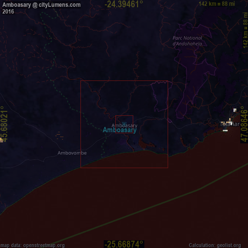
Analysis of Amboasary night lights 2016
Square area 10x10 km:
 0%
0%90-99
0%80-89
0%70-79
0%60-69
0%50-59
0%40-49
0%30-39
0%20-29
0%10-19
0%0-9
100%Square area 50x50 km:
0%90-99
0%80-89
0%70-79
0%60-69
0%50-59
0%40-49
0%30-39
0%20-29
0%10-19
0%0-9
100%Clear (daylight) street map image can be seen on geolist.org.
Map coordinates:
24° 23' 40.6" South, 45° 40' 48.8" East
25° 1' 60" South, 46° 22' 60" East
25° 40' 7.5" South, 47° 5' 11.3" East
Some cities around Amboasary sort by population:
• Ambovombe
33.9 km =21.1 mi,  241°
241°
• Tôlanaro
60.4 km =37.5 mi,  89°
89°
• Tsiombe
95.3 km =59.2 mi,  251°
251°
• Ampanihy
169.5 km =105.3 mi,  282°
282°
• Beloha
135.1 km =83.9 mi,  263°
263°
• Kopoky
120.6 km =74.9 mi, 261°
• Tranovaho
145.6 km =90.5 mi, 258°
• Beteza
143.4 km =89.1 mi,  296°
296°
1081790 (p: 36,082)
Sources (retrieved 2019-11-25):
» Earth at Night: Flat Maps 2012, 2016