Antanifotsy night lights from space
Night Light of Antanifotsy (Vakinankaratra) from space (Madagascar) Src. Average luminocity for 10x10km area is 0% and for 50x50km: 0.004%.
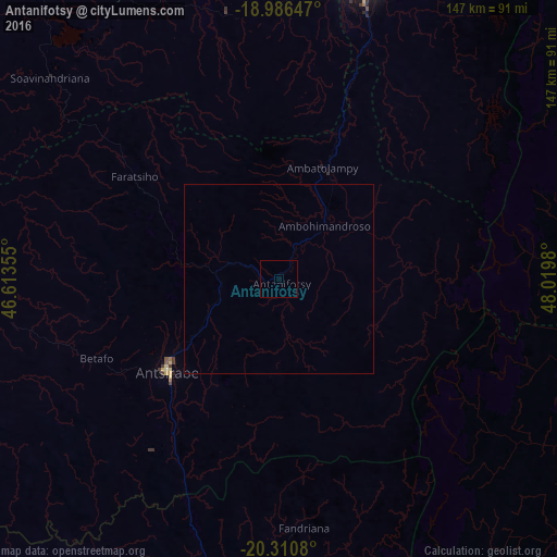
Analysis of Antanifotsy night lights 2016
Square area 10x10 km:
 0%
0%90-99
0%80-89
0%70-79
0%60-69
0%50-59
0%40-49
0%30-39
0%20-29
0%10-19
0%0-9
100%Square area 50x50 km:
0%90-99
0%80-89
0%70-79
0%60-69
0%50-59
0%40-49
0%30-39
0%20-29
0%10-19
0%0-9
100%Clear (daylight) street map image can be seen on geolist.org.
Map coordinates:
18° 59' 11.3" South, 46° 36' 48.8" East
19° 39' 0" South, 47° 19' 0" East
20° 18' 38.9" South, 48° 1' 11.3" East
Some cities around Antanifotsy sort by population:
• Antsirabe
38.1 km =23.7 mi,  231°
231°
• Faratsiho
47.4 km =29.5 mi,  305°
305°
• Fandriana
65.2 km =40.5 mi,  173°
173°
• Betafo
52.9 km =32.9 mi,  247°
247°
• Ambatolampy
31.4 km =19.5 mi,  19°
19°
• Miandrarivo
64.1 km =39.8 mi,  292°
292°
• Arivonimamo
71.8 km =44.6 mi,  348°
348°
• Soanindrariny
29.1 km =18.1 mi,  197°
197°
1070661 (p: 70,626)
Sources (retrieved 2019-11-25):
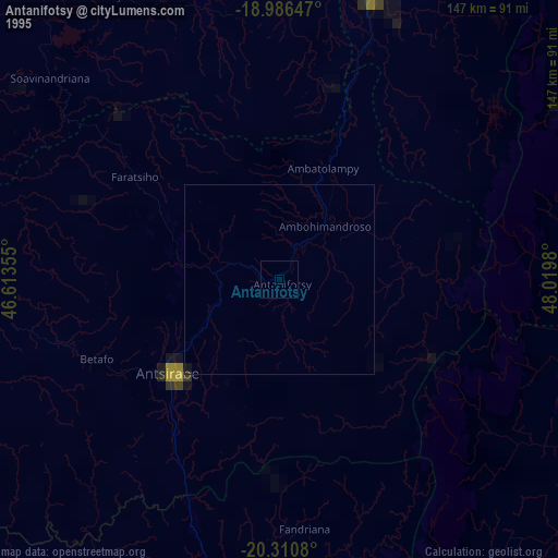
» NASA, Earths city lights 1995
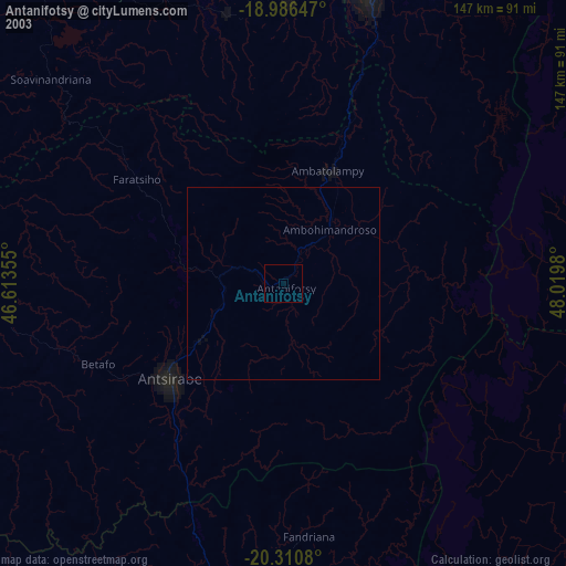
» NASA city lights 2003
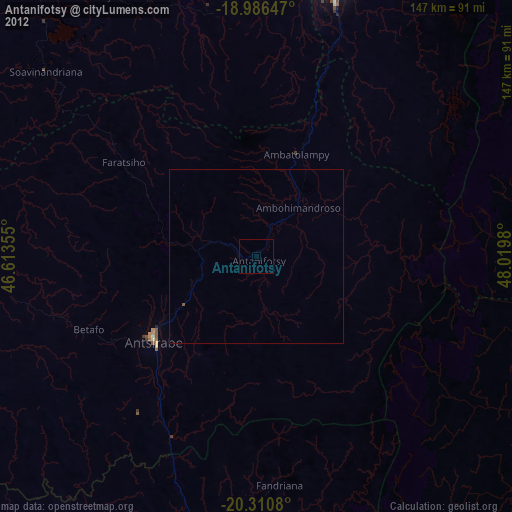
» Earth at Night: Flat Maps 2012, 2016