Arivonimamo night lights from space
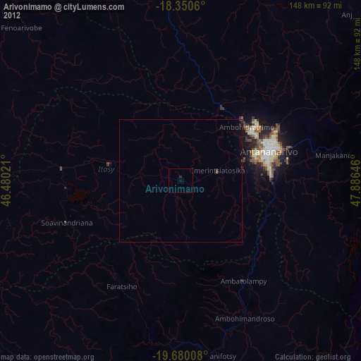
Night Light of Arivonimamo (Itasy) from space (Madagascar) Src. Average luminocity for 10x10km area is 0.5758% and for 50x50km: 0.1816%.

Analysis of Arivonimamo night lights 2016
Square area 10x10 km:
 0%
0%90-99
0%80-89
0%70-79
0%60-69
0%50-59
0%40-49
0%30-39
0.87%20-29
0.87%10-19
0%0-9
98.27%Square area 50x50 km:
0%90-99
0%80-89
0%70-79
0%60-69
0.06%50-59
0.01%40-49
0%30-39
0.13%20-29
0.11%10-19
0.02%0-9
99.66%Clear (daylight) street map image can be seen on geolist.org.
Map coordinates:
18° 21' 2.2" South, 46° 28' 48.8" East
19° 1' 0" South, 47° 10' 60" East
19° 40' 48.3" South, 47° 53' 11.3" East
Some cities around Arivonimamo sort by population:
• Antananarivo
38.8 km =24.1 mi,  72°
72°
• Soavinandriana
50.1 km =31.1 mi,  250°
250°
• Faratsiho
49.2 km =30.6 mi,  209°
209°
• Ambatolampy
47.6 km =29.6 mi,  148°
148°
• Alarobia
58.1 km =36.1 mi,  84°
84°
• Miadanandriana
63.1 km =39.2 mi,  91°
91°
• Anjepy
59.1 km =36.7 mi, 71°
• Miarinarivo
29.9 km =18.6 mi,  282°
282°
1068865 (p: 21,982)
Sources (retrieved 2019-11-25):
» Earth at Night: Flat Maps 2012, 2016