Sahavato night lights from space
Night Light of Sahavato (Vatovavy Fitovinany) from space (Madagascar) Src. Average luminocity for 10x10km area is 0% and for 50x50km: 0%.
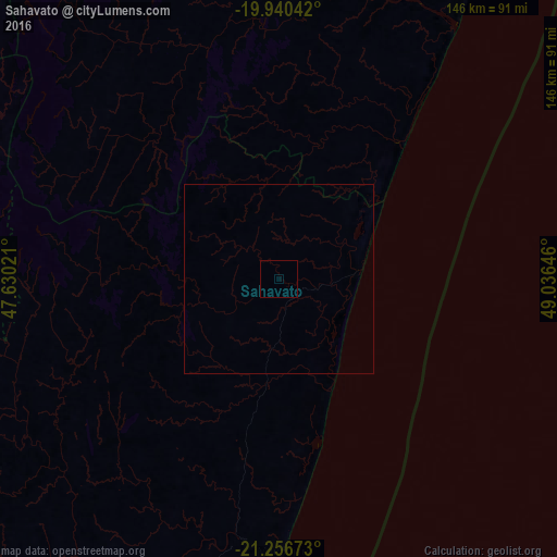

Analysis of Sahavato night lights 2016
Square area 10x10 km:
 0%
0%90-99
0%80-89
0%70-79
0%60-69
0%50-59
0%40-49
0%30-39
0%20-29
0%10-19
0%0-9
100%Square area 50x50 km:
0%90-99
0%80-89
0%70-79
0%60-69
0%50-59
0%40-49
0%30-39
0%20-29
0%10-19
0%0-9
100%Clear (daylight) street map image can be seen on geolist.org.
Map coordinates:
19° 56' 25.5" South, 47° 37' 48.8" East
20° 36' 0" South, 48° 19' 60" East
21° 15' 24.2" South, 49° 2' 11.3" East
Some cities around Sahavato sort by population:
• Mahanoro
91.8 km =57 mi,  32°
32°
• Nosy Varika
20.9 km =13 mi,  84°
84°
• Fandriana
107.1 km =66.5 mi,  292°
292°
• Ambositra
113.7 km =70.6 mi,  273°
273°
• Mananjary
70.1 km =43.6 mi,  179°
179°
• Marolambo
65.2 km =40.5 mi,  339°
339°
• Soanindrariny
138.7 km =86.2 mi,  304°
304°
• Ifanadiana
106.5 km =66.2 mi,  223°
223°
1057277 (p: 28,000)
Sources (retrieved 2019-11-25):
» Earth at Night: Flat Maps 2012, 2016