Fandriana night lights from space
Night Light of Fandriana (Amoron'i Mania) from space (Madagascar) Src. Average luminocity for 10x10km area is 0% and for 50x50km: 0%.
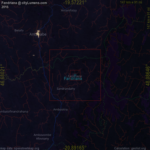
Analysis of Fandriana night lights 2016
Square area 10x10 km:
 0%
0%90-99
0%80-89
0%70-79
0%60-69
0%50-59
0%40-49
0%30-39
0%20-29
0%10-19
0%0-9
100%Square area 50x50 km:
0%90-99
0%80-89
0%70-79
0%60-69
0%50-59
0%40-49
0%30-39
0%20-29
0%10-19
0%0-9
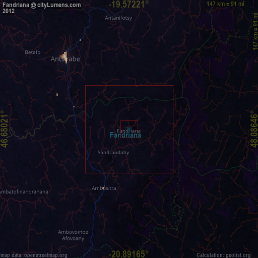
100%Clear (daylight) street map image can be seen on geolist.org.
Map coordinates:
19° 34' 20" South, 46° 40' 48.8" East
20° 13' 60" South, 47° 22' 60" East
20° 53' 29.9" South, 48° 5' 11.3" East
Some cities around Fandriana sort by population:
• Antsirabe
54.8 km =34.1 mi,  318°
318°
• Antanifotsy
65.2 km =40.5 mi,  353°
353°
• Ambositra
36.1 km =22.4 mi,  203°
203°
• Betafo
71.3 km =44.3 mi,  308°
308°
• Ambatolampy
94.6 km =58.8 mi,  2°
2°
• Marolambo
79.2 km =49.2 mi,  75°
75°
• Ambatofinandrahana
70.1 km =43.6 mi,  239°
239°
• Soanindrariny
40.2 km =25 mi,  337°
337°
1065222 (p: 31,437)
Sources (retrieved 2019-11-25):
» Earth at Night: Flat Maps 2012, 2016