Mananjary night lights from space
Night Light of Mananjary (Vatovavy Fitovinany) from space (Madagascar) Src. Average luminocity for 10x10km area is 0% and for 50x50km: 0%.
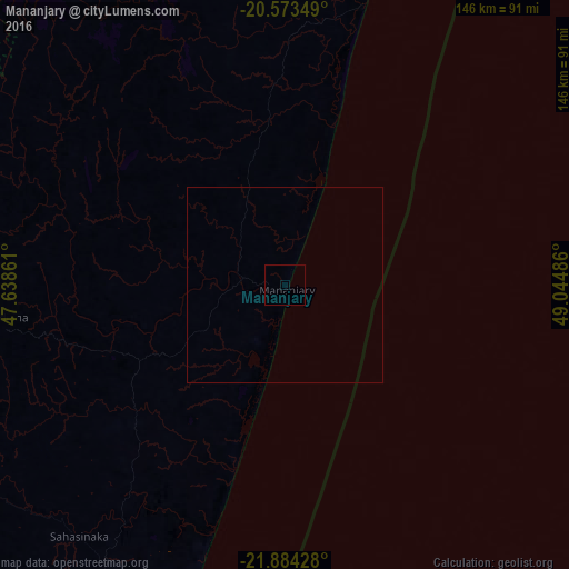

Analysis of Mananjary night lights 2016
Square area 10x10 km:
 0%
0%90-99
0%80-89
0%70-79
0%60-69
0%50-59
0%40-49
0%30-39
0%20-29
0%10-19
0%0-9
100%Square area 50x50 km:
0%90-99
0%80-89
0%70-79
0%60-69
0%50-59
0%40-49
0%30-39
0%20-29
0%10-19
0%0-9
100%Clear (daylight) street map image can be seen on geolist.org.
Map coordinates:
20° 34' 24.6" South, 47° 38' 19" East
21° 13' 49.2" South, 48° 20' 30.2" East
21° 53' 3.4" South, 49° 2' 41.5" East
Some cities around Mananjary sort by population:
• Nosy Varika
74.6 km =46.4 mi,  15°
15°
• Manakara
107.7 km =66.9 mi,  198°
198°
• Ikongo
118.7 km =73.8 mi,  232°
232°
• Sahavato
70.1 km =43.6 mi,  359°
359°
• Ifanadiana
73.8 km =45.9 mi,  263°
263°
• Amboanjo
99.5 km =61.8 mi,  210°
210°
• Fandrandava
117.4 km =72.9 mi,  254°
254°
• Vohimanitra
84.5 km =52.5 mi, 231°
1061335 (p: 27,686)
Sources (retrieved 2019-11-25):
» Earth at Night: Flat Maps 2012, 2016