Marolambo night lights from space
Night Light of Marolambo (Atsinanana) from space (Madagascar) Src. Average luminocity for 10x10km area is 0% and for 50x50km: 0%.
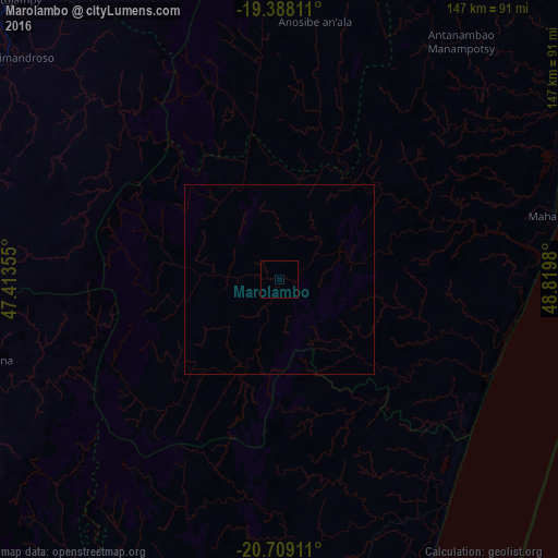

Analysis of Marolambo night lights 2016
Square area 10x10 km:
 0%
0%90-99
0%80-89
0%70-79
0%60-69
0%50-59
0%40-49
0%30-39
0%20-29
0%10-19
0%0-9
100%Square area 50x50 km:
0%90-99
0%80-89
0%70-79
0%60-69
0%50-59
0%40-49
0%30-39
0%20-29
0%10-19
0%0-9
100%Clear (daylight) street map image can be seen on geolist.org.
Map coordinates:
19° 23' 17.2" South, 47° 24' 48.8" East
20° 3' 0" South, 48° 7' 0" East
20° 42' 32.8" South, 48° 49' 11.3" East
Some cities around Marolambo sort by population:
• Antanifotsy
94.8 km =58.9 mi,  297°
297°
• Mahanoro
73.3 km =45.5 mi,  76°
76°
• Nosy Varika
73.5 km =45.7 mi,  143°
143°
• Fandriana
79.2 km =49.2 mi,  255°
255°
• Ambositra
105.6 km =65.6 mi,  239°
239°
• Ambatolampy
104.2 km =64.7 mi,  315°
315°
• Sahavato
65.2 km =40.5 mi,  159°
159°
• Soanindrariny
93.8 km =58.3 mi,  280°
280°
1060007 (p: 26,160)
Sources (retrieved 2019-11-25):
» Earth at Night: Flat Maps 2012, 2016