Mahajanga night lights from space
Night Light of Mahajanga (Boeny) from space (Madagascar) Src. Average luminocity for 10x10km area is 22.3182% and for 50x50km: 1.0502%.
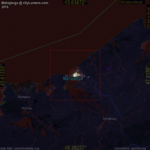
Analysis of Mahajanga night lights 2016
Square area 10x10 km:
 3.25%
3.25%90-99
2.81%80-89
3.25%70-79
3.9%60-69
2.38%50-59
1.95%40-49
3.46%30-39
2.81%20-29
2.16%10-19
12.12%0-9
61.9%Square area 50x50 km:
0.13%90-99
0.11%80-89
0.13%70-79
0.18%60-69
0.09%50-59
0.08%40-49
0.19%30-39
0.15%20-29
0.18%10-19
0.51%0-9
98.26%Clear (daylight) street map image can be seen on geolist.org.
Map coordinates:
15° 2' 19.4" South, 45° 36' 48.8" East
15° 43' 0" South, 46° 19' 0" East
16° 23' 32.5" South, 47° 1' 11.3" East
Some cities around Mahajanga sort by population:
• Marovoay
56.1 km =34.9 mi,  141°
141°
• Maevatanana
147.8 km =91.8 mi,  158°
158°
• Ambato Boeny
93.7 km =58.2 mi,  152°
152°
• Antsohihy
201.9 km =125.5 mi,  62°
62°
• Sitampiky
108.1 km =67.2 mi,  192°
192°
• Tsaratanana
186.4 km =115.8 mi,  130°
130°
• Mahabe
184.6 km =114.7 mi,  214°
214°
• Bemaitso
277.1 km =172.2 mi,  122°
122°
1062663 (p: 154,657)
Sources (retrieved 2019-11-25):
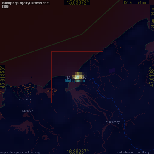
» NASA, Earths city lights 1995
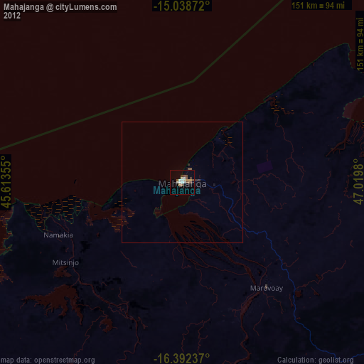
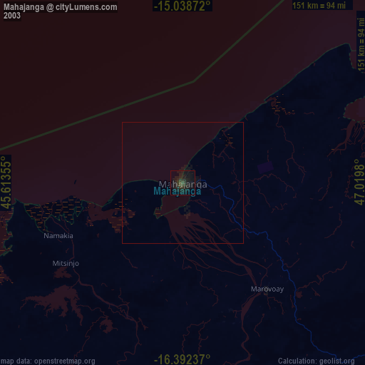
» NASA city lights 2003
» Earth at Night: Flat Maps 2012, 2016