Alarobia night lights from space
Night Light of Alarobia (Analamanga) from space (Madagascar) Src. Average luminocity for 10x10km area is 0% and for 50x50km: 4.9297%.
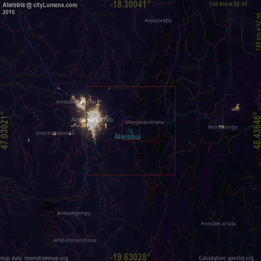
Analysis of Alarobia night lights 2016
Square area 10x10 km:
 0%
0%90-99
0%80-89
0%70-79
0%60-69
0%50-59
0%40-49
0%30-39
0%20-29
0%10-19
0%0-9
100%Square area 50x50 km:
0.7%90-99
1%80-89
0.88%70-79
0.39%60-69
0.44%50-59
0.56%40-49
0.87%30-39
1.03%20-29
1.45%10-19
2.34%0-9
90.35%Clear (daylight) street map image can be seen on geolist.org.
Map coordinates:
18° 18' 1.5" South, 47° 1' 48.8" East
18° 58' 0" South, 47° 43' 60" East
19° 37' 49" South, 48° 26' 11.3" East
Some cities around Alarobia sort by population:
• Antananarivo
21.6 km =13.4 mi,  285°
285°
• Manjakandriana
8.9 km =5.5 mi,  51°
51°
• Mantasoa
11.9 km =7.4 mi,  117°
117°
• Miadanandriana
9.1 km =5.7 mi,  144°
144°
• Ambohitrandriamanitra
14 km =8.7 mi,  157°
157°
• Sambaina
9.1 km =5.7 mi,  35°
35°
• Ambohitseheno
21.6 km =13.4 mi,  18°
18°
• Anjepy
13.1 km =8.1 mi,  352°
352°
1084740 (p: 16,000)
Sources (retrieved 2019-11-25):
» Earth at Night: Flat Maps 2012, 2016