Nevesinje night lights from space
Night Light of Nevesinje (Srpska) from space (Bosnia and Herzegovina) Src. Average luminocity for 10x10km area is 1.6242% and for 50x50km: 2.5406%.
Analysis of Nevesinje night lights 2016
Square area 10x10 km:
 0%
0%90-99
0%80-89
0.61%70-79
0.15%60-69
0.45%50-59
0.61%40-49
0%30-39
0%20-29
0.61%10-19
0.61%0-9
96.97%Square area 50x50 km:
0.24%90-99
0.27%80-89
0.23%70-79
0.33%60-69
0.54%50-59
0.48%40-49
0.29%30-39
0.42%20-29
0.83%10-19
2.01%0-9
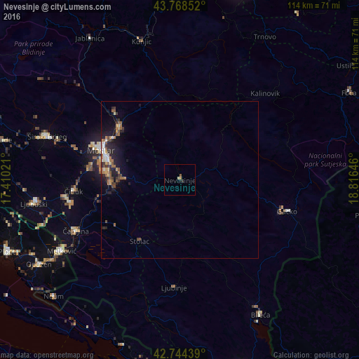
94.36%Clear (daylight) street map image can be seen on geolist.org.
Map coordinates:
43° 46' 6.7" North, 17° 24' 36.8" East
43° 15' 31" North, 18° 6' 48" East
42° 44' 39.8" North, 18° 48' 59.3" East
Some cities around Nevesinje sort by population:
• Mostar
26.4 km =16.4 mi,  290°
290°
• Metković, HR
44 km =27.3 mi,  238°
238°
• Potoci
25.3 km =15.7 mi,  311°
311°
• Čapljina
38 km =23.6 mi,  246°
246°
• Stolac
23.1 km =14.4 mi,  212°
212°
• Crnići
24.6 km =15.3 mi,  234°
234°
• Čitluk
33.6 km =20.9 mi,  264°
264°
• Rodoč
25.9 km =16.1 mi,  283°
283°
3194510 (p: 7,313)
Sources (retrieved 2019-11-25):
» Earth at Night: Flat Maps 2012, 2016