Oujda-Angad night lights from space
Night Light of Oujda-Angad (Oriental) from space (Morocco) Src. Average luminocity for 10x10km area is 83.8147% and for 50x50km: 9.0106%.
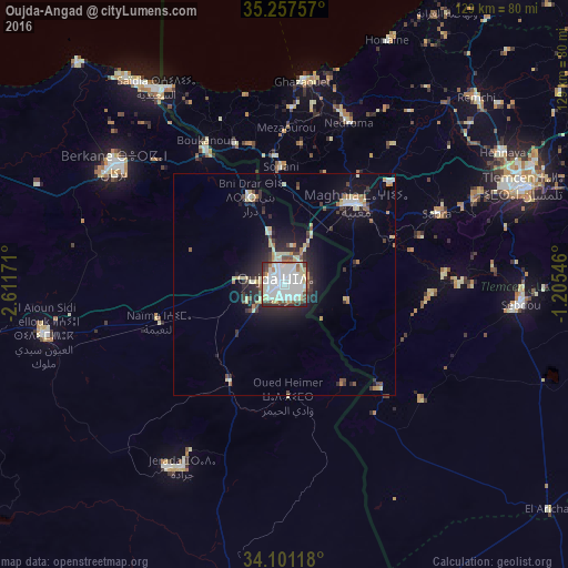
Analysis of Oujda-Angad night lights 2016
Square area 10x10 km:
 37.24%
90-99
25.35%80-89
11.36%70-79
2.27%60-69
4.72%50-59
2.62%40-49
7.52%30-39
4.2%20-29
4.55%10-19
0.17%0-9
0%Square area 50x50 km:
1.73%90-99
1.61%80-89
1.57%70-79
0.58%60-69
0.83%50-59
0.49%40-49
1.03%30-39
1.27%20-29
2.64%10-19
5.28%0-9
82.96%Clear (daylight) street map image can be seen on geolist.org.
Map coordinates:
35° 15' 27.3" North, 2° 36' 42.2" West
34° 40' 53" North, 1° 54' 30.9" West
34° 6' 4.2" North, 1° 12' 19.7" West
Some cities around Oujda-Angad sort by population:
• Berkane
46 km =28.6 mi,  305°
305°
• Mansoûra, DZ
55.7 km =34.6 mi,  68°
68°
• Jerada
47.3 km =29.4 mi,  209°
209°
• Sebdou, DZ
53 km =32.9 mi,  95°
95°
• Nedroma, DZ
39.7 km =24.7 mi,  21°
21°
• El Aïoun
55.7 km =34.6 mi,  258°
258°
• Beni Mester, DZ
49.1 km =30.5 mi,  64°
64°
• Ahfir
35 km =21.7 mi,  329°
329°
2540483 (p: 405,253)
Sources (retrieved 2019-11-25):
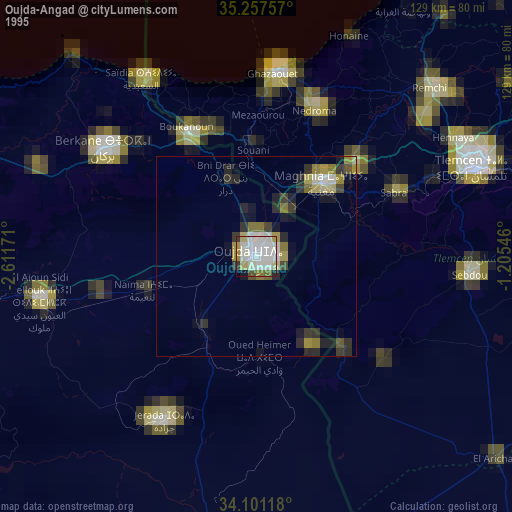
» NASA, Earths city lights 1995
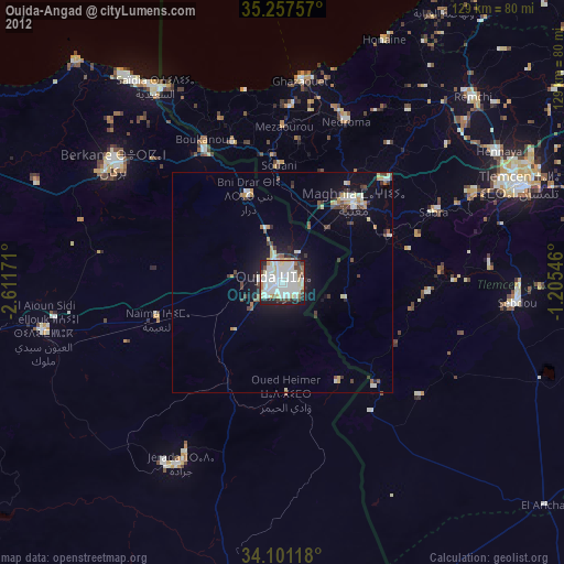
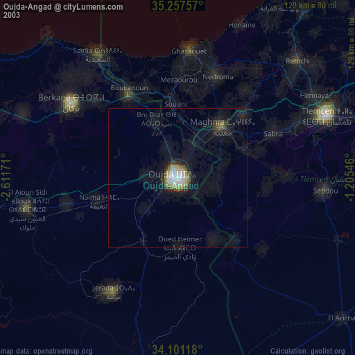
» NASA city lights 2003
» Earth at Night: Flat Maps 2012, 2016