Nālūt night lights from space
Night Light of Nālūt from space (Libya) Src. Average luminocity for 10x10km area is 20.7015% and for 50x50km: 1.7818%.
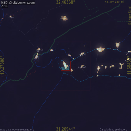
Analysis of Nālūt night lights 2016
Square area 10x10 km:
 2.2%
2.2%90-99
2.93%80-89
5.31%70-79
4.4%60-69
2.01%50-59
0.73%40-49
0.37%30-39
1.1%20-29
1.1%10-19
15.57%0-9
64.29%Square area 50x50 km:
0.16%90-99
0.19%80-89
0.37%70-79
0.32%60-69
0.24%50-59
0.12%40-49
0.18%30-39
0.22%20-29
0.21%10-19
0.7%0-9
97.28%Clear (daylight) street map image can be seen on geolist.org.
Map coordinates:
32° 27' 49.2" North, 10° 16' 41.1" East
31° 52' 6.5" North, 10° 58' 52.3" East
31° 16' 9.9" North, 11° 41' 3.6" East
Some cities around Nālūt sort by population:
• Al Ajaylat
164.2 km =102 mi,  52°
52°
• Yafran
147.6 km =91.7 mi,  81°
81°
• Tataouine, TN
128 km =79.5 mi,  337°
337°
• Zuwārah
157 km =97.6 mi,  41°
41°
• Zintan
120.2 km =74.7 mi,  86°
86°
• Zalţan
145.9 km =90.7 mi,  34°
34°
• Ben Gardane, TN
142.9 km =88.8 mi,  9°
9°
• Giado
99.4 km =61.8 mi, 84°
2214433 (p: 26,256)
Sources (retrieved 2019-11-25):
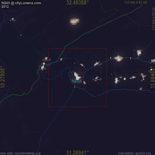
» Earth at Night: Flat Maps 2012, 2016