Viļāni night lights from space
Night Light of Viļāni (Vilanu) from space (Latvia) Src. Average luminocity for 10x10km area is 0.3932% and for 50x50km: 0.2806%.
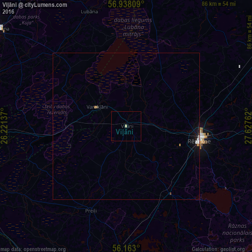
Analysis of Viļāni night lights 2016
Square area 10x10 km:
 0%
0%90-99
0%80-89
0.45%70-79
0%60-69
0%50-59
0%40-49
0%30-39
0%20-29
0%10-19
0%0-9
99.55%Square area 50x50 km:
0.05%90-99
0.04%80-89
0.02%70-79
0.03%60-69
0.05%50-59
0%40-49
0.02%30-39
0.03%20-29
0.04%10-19
0.24%0-9
99.48%Clear (daylight) street map image can be seen on geolist.org.
Map coordinates:
56° 56' 17.1" North, 26° 13' 16.9" East
56° 33' 9.1" North, 26° 55' 28.2" East
56° 9' 46.8" North, 27° 37' 39.4" East
Some cities around Viļāni sort by population:
• Rēzekne
25.9 km =16.1 mi,  100°
100°
• Ludza
48.7 km =30.3 mi,  91°
91°
• Preiļi
31.2 km =19.4 mi,  203°
203°
• Varakļāni
12.2 km =7.6 mi,  300°
300°
• Lubāna
41.1 km =25.5 mi,  341°
341°
• Vecvārkava
47 km =29.2 mi,  213°
213°
• Aglona
47 km =29.2 mi,  173°
173°
• Riebiņi
24.5 km =15.2 mi, 198°
454178 (p: 3,934)
Sources (retrieved 2019-11-25):
» Earth at Night: Flat Maps 2012, 2016