Riebiņi night lights from space
Night Light of Riebiņi (Riebiņu) from space (Latvia) Src. Average luminocity for 10x10km area is 0% and for 50x50km: 0.0256%.
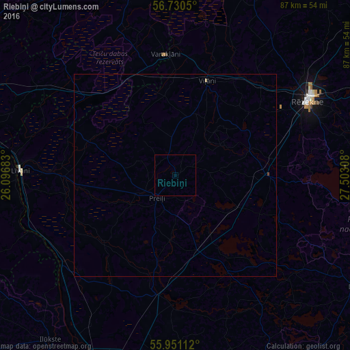
Analysis of Riebiņi night lights 2016
Square area 10x10 km:
 0%
0%90-99
0%80-89
0%70-79
0%60-69
0%50-59
0%40-49
0%30-39
0%20-29
0%10-19
0%0-9
100%Square area 50x50 km:
0%90-99
0%80-89
0.02%70-79
0%60-69
0%50-59
0%40-49
0.02%30-39
0%20-29
0%10-19
0%0-9
99.96%Clear (daylight) street map image can be seen on geolist.org.
Map coordinates:
56° 43' 49.8" North, 26° 5' 48.6" East
56° 20' 34.1" North, 26° 47' 59.8" East
55° 57' 4" North, 27° 30' 11.1" East
Some cities around Riebiņi sort by population:
• Rēzekne
38.1 km =23.7 mi,  60°
60°
• Līvāni
38.5 km =23.9 mi,  271°
271°
• Preiļi
7.1 km =4.4 mi,  220°
220°
• Viļāni
24.5 km =15.2 mi,  18°
18°
• Ilūkste
51.2 km =31.8 mi, 217°
• Varakļāni
29.7 km =18.5 mi,  354°
354°
• Aglona
26.6 km =16.5 mi,  151°
151°
• Vecvārkava
24.1 km =15 mi,  228°
228°
456185 (p: 0)
Sources (retrieved 2019-11-25):
» Earth at Night: Flat Maps 2012, 2016