Lubāna night lights from space
Night Light of Lubāna from space (Latvia) Src. Average luminocity for 10x10km area is 0% and for 50x50km: 0.023%.
Analysis of Lubāna night lights 2016
Square area 10x10 km:
100  0%
0%
90-99 0%
80-89 0%
70-79 0%
60-69 0%
50-59 0%
40-49 0%
30-39 0%
20-29 0%
10-19 0%
0-9 100%
0%90-99
0%80-89
0%70-79
0%60-69
0%50-59
0%40-49
0%30-39
0%20-29
0%10-19
0%0-9
100%Square area 50x50 km:
100 0%
90-99 0%
80-89 0%
70-79 0%
60-69 0%
50-59 0.02%
40-49 0%
30-39 0.02%
20-29 0%
10-19 0%
0-9 99.96%
0%90-99
0%80-89
0%70-79
0%60-69
0%50-59
0.02%40-49
0%30-39
0.02%20-29
0%10-19
0%0-9
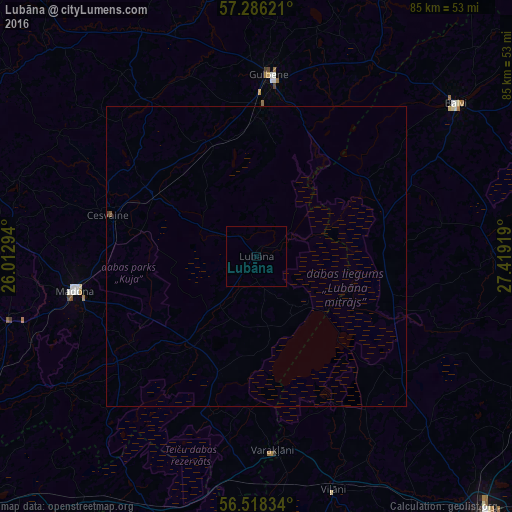
99.96%Clear (daylight) street map image can be seen on geolist.org.
Map coordinates:
57° 17' 10.4" North, 26° 0' 46.6" East
56° 54' 15.3" North, 26° 42' 57.8" East
56° 31' 6" North, 27° 25' 9.1" East
Some cities around Lubāna sort by population:
• Gulbene
30.5 km =19 mi,  4°
4°
• Madona
30.8 km =19.1 mi,  259°
259°
• Balvi
41.8 km =26 mi,  52°
52°
• Viļāni
41.1 km =25.5 mi,  161°
161°
• Varakļāni
33 km =20.5 mi,  176°
176°
• Cesvaine
25.8 km =16 mi,  285°
285°
• Jaunpiebalga
51.5 km =32 mi,  306°
306°
• Rugāji
27.6 km =17.1 mi,  66°
66°
457799 (p: 1,918)
Sources (retrieved 2019-11-25):
» Earth at Night: Flat Maps 2012, 2016