Rēzekne night lights from space
Night Light of Rēzekne from space (Latvia) Src. Average luminocity for 10x10km area is 16.4352% and for 50x50km: 0.9278%.
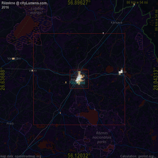
Analysis of Rēzekne night lights 2016
Square area 10x10 km:
100  3.3%
3.3%
90-99 2.5%
80-89 1.02%
70-79 2.05%
60-69 3.86%
50-59 0.91%
40-49 1.36%
30-39 0.45%
20-29 1.25%
10-19 14.77%
0-9 68.52%
3.3%90-99
2.5%80-89
1.02%70-79
2.05%60-69
3.86%50-59
0.91%40-49
1.36%30-39
0.45%20-29
1.25%10-19
14.77%0-9
68.52%Square area 50x50 km:
100 0.19%
90-99 0.16%
80-89 0.05%
70-79 0.1%
60-69 0.16%
50-59 0.08%
40-49 0.08%
30-39 0.04%
20-29 0.07%
10-19 0.62%
0-9 98.45%
0.19%90-99
0.16%80-89
0.05%70-79
0.1%60-69
0.16%50-59
0.08%40-49
0.08%30-39
0.04%20-29
0.07%10-19
0.62%0-9
98.45%Clear (daylight) street map image can be seen on geolist.org.
Map coordinates:
56° 53' 46.6" North, 26° 38' 12.8" East
56° 30' 37" North, 27° 20' 24" East
56° 7' 13.2" North, 28° 2' 35.3" East
Some cities around Rēzekne sort by population:
• Ludza
23.5 km =14.6 mi,  82°
82°
• Preiļi
44.8 km =27.8 mi,  237°
237°
• Viļāni
25.9 km =16.1 mi,  280°
280°
• Kārsava
37.1 km =23.1 mi,  34°
34°
• Varakļāni
37.5 km =23.3 mi,  286°
286°
• Aglona
46.7 km =29 mi,  206°
206°
• Riebiņi
38.1 km =23.7 mi, 240°
• Cibla
33.6 km =20.9 mi, 82°
456202 (p: 38,340)
Sources (retrieved 2019-11-25):
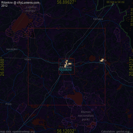
» Earth at Night: Flat Maps 2012, 2016