Ventspils night lights from space
Night Light of Ventspils from space (Latvia) Src. Average luminocity for 10x10km area is 31.2784% and for 50x50km: 1.4006%.

Analysis of Ventspils night lights 2016
Square area 10x10 km:
 8.52%
8.52%90-99
8.75%80-89
2.16%70-79
1.36%60-69
1.48%50-59
1.59%40-49
2.95%30-39
2.61%20-29
6.59%10-19
30.8%0-9
33.18%Square area 50x50 km:
0.35%90-99
0.36%80-89
0.09%70-79
0.06%60-69
0.06%50-59
0.06%40-49
0.12%30-39
0.11%20-29
0.27%10-19
1.58%0-9
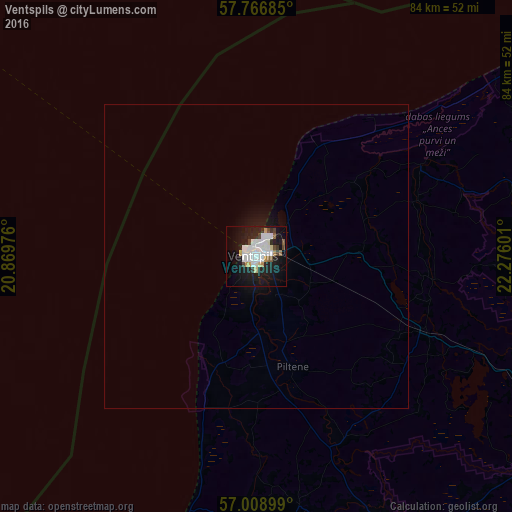
96.95%Clear (daylight) street map image can be seen on geolist.org.
Map coordinates:
57° 46' 0.7" North, 20° 52' 11.1" East
57° 23' 23.6" North, 21° 34' 22.4" East
57° 0' 32.4" North, 22° 16' 33.6" East
Some cities around Ventspils sort by population:
• Kuldīga
51.7 km =32.1 mi,  153°
153°
• Talsi
62.6 km =38.9 mi,  104°
104°
• Aizpute
74.4 km =46.2 mi,  178°
178°
• Kandava
82.1 km =51 mi,  118°
118°
• Roja
75 km =46.6 mi,  80°
80°
• Pāvilosta
60.5 km =37.6 mi,  202°
202°
• Alsunga
45.4 km =28.2 mi, 181°
• Dundaga
48.2 km =30 mi,  74°
74°
454310 (p: 42,644)
Sources (retrieved 2019-11-25):
» Earth at Night: Flat Maps 2012, 2016