Talsi night lights from space
Night Light of Talsi (Talsi Municipality) from space (Latvia) Src. Average luminocity for 10x10km area is 5.9274% and for 50x50km: 0.2822%.
Analysis of Talsi night lights 2016
Square area 10x10 km:
 1.19%
1.19%90-99
2.14%80-89
0.48%70-79
0%60-69
0.48%50-59
0.12%40-49
0.83%30-39
0%20-29
0.48%10-19
0.12%0-9
94.17%Square area 50x50 km:
0.05%90-99
0.08%80-89
0.04%70-79
0%60-69
0.02%50-59
0.02%40-49
0.05%30-39
0.02%20-29
0.04%10-19
0%0-9
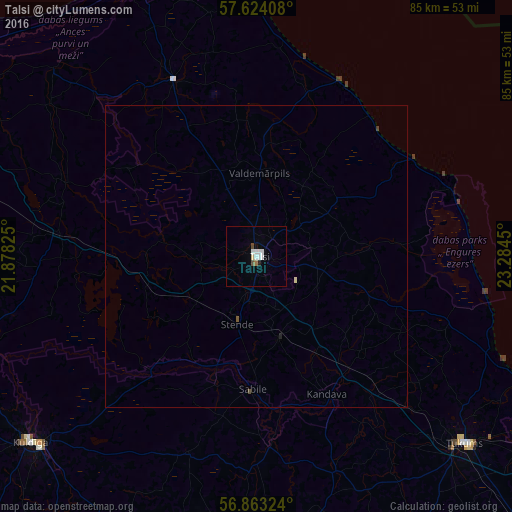
99.68%Clear (daylight) street map image can be seen on geolist.org.
Map coordinates:
57° 37' 26.7" North, 21° 52' 41.7" East
57° 14' 44.2" North, 22° 34' 52.9" East
56° 51' 47.7" North, 23° 17' 4.2" East
Some cities around Talsi sort by population:
• Ventspils
62.6 km =38.9 mi,  284°
284°
• Tukums
46.4 km =28.8 mi,  131°
131°
• Kuldīga
48.3 km =30 mi,  231°
231°
• Kandava
25.6 km =15.9 mi,  152°
152°
• Mērsrags
34.1 km =21.2 mi,  73°
73°
• Roja
31.5 km =19.6 mi,  25°
25°
• Smārde
56 km =34.8 mi, 125°
• Dundaga
32 km =19.9 mi,  334°
334°
454970 (p: 12,022)
Sources (retrieved 2019-11-25):
» Earth at Night: Flat Maps 2012, 2016