Pāvilosta night lights from space
Night Light of Pāvilosta (Pāvilostas) from space (Latvia) Src. Average luminocity for 10x10km area is 0.4466% and for 50x50km: 0.0204%.
Analysis of Pāvilosta night lights 2016
Square area 10x10 km:
 0%
0%90-99
0%80-89
0%70-79
0%60-69
0.45%50-59
0%40-49
0%30-39
0%20-29
0.45%10-19
0%0-9
99.09%Square area 50x50 km:
0%90-99
0%80-89
0%70-79
0%60-69
0.02%50-59
0%40-49
0%30-39
0%20-29
0.02%10-19
0.01%0-9
99.95%Clear (daylight) street map image can be seen on geolist.org.
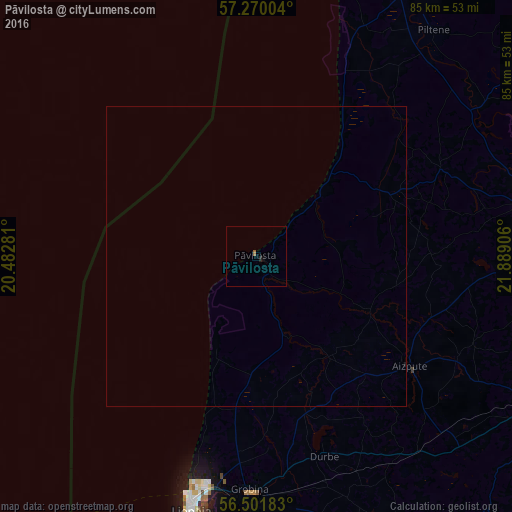
Map coordinates:
57° 16' 12.1" North, 20° 28' 58.1" East
56° 53' 16.5" North, 21° 11' 9.3" East
56° 30' 6.6" North, 21° 53' 20.6" East
Some cities around Pāvilosta sort by population:
• Liepāja
43.9 km =27.3 mi,  194°
194°
• Kuldīga
47.8 km =29.7 mi,  78°
78°
• Karosta
38.9 km =24.2 mi,  195°
195°
• Aizpute
31.4 km =19.5 mi,  126°
126°
• Grobiņa
39.2 km =24.4 mi,  181°
181°
• Priekule
54.9 km =34.1 mi,  153°
153°
• Alsunga
25 km =15.5 mi,  65°
65°
• Lieģi
35.2 km =21.9 mi,  165°
165°
456827 (p: 1,171)
Sources (retrieved 2019-11-25):
» Earth at Night: Flat Maps 2012, 2016