Roja night lights from space
Night Light of Roja (Rojas) from space (Latvia) Src. Average luminocity for 10x10km area is 0.6214% and for 50x50km: 0.1205%.
Analysis of Roja night lights 2016
Square area 10x10 km:
 0%
0%90-99
0%80-89
0%70-79
0%60-69
0%50-59
0%40-49
0.12%30-39
1.31%20-29
0%10-19
0%0-9
98.57%Square area 50x50 km:
0%90-99
0%80-89
0%70-79
0%60-69
0%50-59
0%40-49
0.02%30-39
0.24%20-29
0%10-19
0%0-9
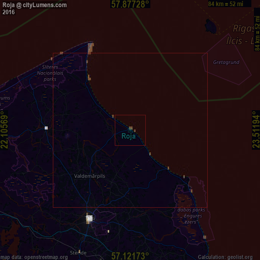
99.74%Clear (daylight) street map image can be seen on geolist.org.
Map coordinates:
57° 52' 38.2" North, 22° 6' 20.5" East
57° 30' 5.3" North, 22° 48' 31.7" East
57° 7' 18.2" North, 23° 30' 43" East
Some cities around Roja sort by population:
• Ventspils
75 km =46.6 mi,  260°
260°
• Tukums
62.9 km =39.1 mi,  160°
160°
• Kuldīga
77.9 km =48.4 mi,  221°
221°
• Talsi
31.5 km =19.6 mi,  205°
205°
• Kandava
51.3 km =31.9 mi,  182°
182°
• Mērsrags
26.4 km =16.4 mi,  134°
134°
• Smārde
68.7 km =42.7 mi,  152°
152°
• Dundaga
27.4 km =17 mi,  270°
270°
456107 (p: 1,800)
Sources (retrieved 2019-11-25):
» Earth at Night: Flat Maps 2012, 2016