Kuldīga night lights from space
Night Light of Kuldīga (Kuldīgas novads) from space (Latvia) Src. Average luminocity for 10x10km area is 7.117% and for 50x50km: 0.2985%.
Analysis of Kuldīga night lights 2016
Square area 10x10 km:
 0.8%
0.8%90-99
2.16%80-89
0.23%70-79
0.91%60-69
1.02%50-59
1.25%40-49
0.91%30-39
0%20-29
0%10-19
0.68%0-9
92.05%Square area 50x50 km:
0.03%90-99
0.09%80-89
0.01%70-79
0.04%60-69
0.04%50-59
0.05%40-49
0.04%30-39
0%20-29
0%10-19
0.03%0-9
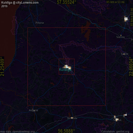
99.67%Clear (daylight) street map image can be seen on geolist.org.
Map coordinates:
57° 21' 18.9" North, 21° 15' 14.7" East
56° 58' 26.4" North, 21° 57' 26" East
56° 35' 19.7" North, 22° 39' 37.2" East
Some cities around Kuldīga sort by population:
• Saldus
47.3 km =29.4 mi,  136°
136°
• Talsi
48.3 km =30 mi,  51°
51°
• Aizpute
35.5 km =22.1 mi,  217°
217°
• Kandava
50 km =31.1 mi,  81°
81°
• Brocēni
49.6 km =30.8 mi,  131°
131°
• Skrunda
33.2 km =20.6 mi,  173°
173°
• Pāvilosta
47.8 km =29.7 mi,  258°
258°
• Alsunga
24.1 km =15 mi,  272°
272°
458460 (p: 13,289)
Sources (retrieved 2019-11-25):
» Earth at Night: Flat Maps 2012, 2016