Ādaži night lights from space
Night Light of Ādaži from space (Latvia) Src. Average luminocity for 10x10km area is 6.3786% and for 50x50km: 11.782%.
Analysis of Ādaži night lights 2016
Square area 10x10 km:
100  0.83%
0.83%
90-99 0.83%
80-89 1.67%
70-79 0%
60-69 0.48%
50-59 1.55%
40-49 0.36%
30-39 0.48%
20-29 0%
10-19 0%
0-9 93.81%
0.83%90-99
0.83%80-89
1.67%70-79
0%60-69
0.48%50-59
1.55%40-49
0.36%30-39
0.48%20-29
0%10-19
0%0-9
93.81%Square area 50x50 km:
100 3.63%
90-99 2.83%
80-89 0.87%
70-79 0.8%
60-69 0.89%
50-59 1.12%
40-49 1.09%
30-39 1.49%
20-29 2.99%
10-19 5.04%
0-9 79.26%
3.63%90-99
2.83%80-89
0.87%70-79
0.8%60-69
0.89%50-59
1.12%40-49
1.09%30-39
1.49%20-29
2.99%10-19
5.04%0-9
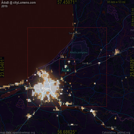
79.26%Clear (daylight) street map image can be seen on geolist.org.
Map coordinates:
57° 27' 2.6" North, 23° 38' 2.4" East
57° 4' 13.6" North, 24° 20' 13.7" East
56° 41' 10.5" North, 25° 2' 24.9" East
Some cities around Ādaži sort by population:
• Riga
19.7 km =12.2 mi,  225°
225°
• Bolderaja
17.6 km =10.9 mi,  255°
255°
• Daugavgrīva
18.5 km =11.5 mi, 260°
• Ulbroka
15.1 km =9.4 mi,  187°
187°
• Loja
20.7 km =12.9 mi,  63°
63°
• Berģi
9.6 km =6 mi, 193°
• Carnikava
7.3 km =4.5 mi,  333°
333°
• Garkalne
5.7 km =3.5 mi,  119°
119°
461650 (p: 0)
Sources (retrieved 2019-11-25):
» Earth at Night: Flat Maps 2012, 2016