Saldus night lights from space
Night Light of Saldus (Saldus Rajons) from space (Latvia) Src. Average luminocity for 10x10km area is 4.3702% and for 50x50km: 0.2447%.
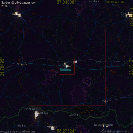
Analysis of Saldus night lights 2016
Square area 10x10 km:
 0.24%
0.24%90-99
0.95%80-89
0.36%70-79
0.36%60-69
0.48%50-59
1.19%40-49
1.19%30-39
0.95%20-29
0%10-19
0.48%0-9
93.81%Square area 50x50 km:
0.03%90-99
0.06%80-89
0.01%70-79
0.01%60-69
0.03%50-59
0.06%40-49
0.05%30-39
0.04%20-29
0.02%10-19
0.02%0-9
99.68%Clear (daylight) street map image can be seen on geolist.org.
Map coordinates:
57° 2' 53" North, 21° 47' 5.8" East
56° 39' 49.1" North, 22° 29' 17.1" East
56° 16' 30.9" North, 23° 11' 28.3" East
Some cities around Saldus sort by population:
• Mazeikiai, LT
39.7 km =24.7 mi,  193°
193°
• Kuldīga
47.3 km =29.4 mi,  316°
316°
• Naujoji Akmene, LT
46.1 km =28.6 mi,  146°
146°
• Kandava
45.4 km =28.2 mi,  22°
22°
• Brocēni
5.3 km =3.3 mi,  71°
71°
• Auce
34 km =21.1 mi,  131°
131°
• Skrunda
28.9 km =18 mi,  273°
273°
• Jaunpils
32.9 km =20.4 mi,  76°
76°
455890 (p: 12,224)
Sources (retrieved 2019-11-25):
» Earth at Night: Flat Maps 2012, 2016