Skrunda night lights from space
Night Light of Skrunda from space (Latvia) Src. Average luminocity for 10x10km area is 0.7357% and for 50x50km: 0.037%.
Analysis of Skrunda night lights 2016
Square area 10x10 km:
100  0%
0%
90-99 0%
80-89 0%
70-79 0.48%
60-69 0%
50-59 0.48%
40-49 0%
30-39 0%
20-29 0.48%
10-19 0%
0-9 98.57%
0%90-99
0%80-89
0%70-79
0.48%60-69
0%50-59
0.48%40-49
0%30-39
0%20-29
0.48%10-19
0%0-9
98.57%Square area 50x50 km:
100 0%
90-99 0%
80-89 0%
70-79 0.02%
60-69 0%
50-59 0.02%
40-49 0%
30-39 0.02%
20-29 0.02%
10-19 0%
0-9 99.92%
0%90-99
0%80-89
0%70-79
0.02%60-69
0%50-59
0.02%40-49
0%30-39
0.02%20-29
0.02%10-19
0%0-9
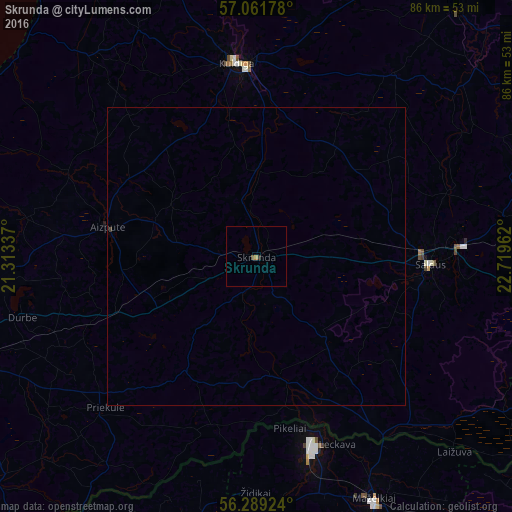
99.92%Clear (daylight) street map image can be seen on geolist.org.
Map coordinates:
57° 3' 42.4" North, 21° 18' 48.1" East
56° 40' 39" North, 22° 0' 59.4" East
56° 17' 21.3" North, 22° 43' 10.6" East
Some cities around Skrunda sort by population:
• Kuldīga
33.2 km =20.6 mi,  353°
353°
• Saldus
28.9 km =18 mi,  93°
93°
• Aizpute
25.8 km =16 mi,  280°
280°
• Brocēni
33.8 km =21 mi, 89°
• Priekule
36.6 km =22.7 mi,  225°
225°
• Alsunga
43.8 km =27.2 mi,  320°
320°
• Lieģi
43.1 km =26.8 mi,  255°
255°
• Vaiņode
30.5 km =19 mi,  199°
199°
455520 (p: 2,659)
Sources (retrieved 2019-11-25):
» Earth at Night: Flat Maps 2012, 2016