Mazeikiai night lights from space
Night Light of Mazeikiai (Telsiai) from space (Lithuania) Src. Average luminocity for 10x10km area is 5.6779% and for 50x50km: 0.6687%.
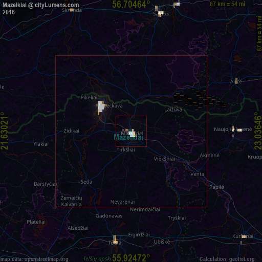
Analysis of Mazeikiai night lights 2016
Square area 10x10 km:
 1.63%
1.63%90-99
0.88%80-89
0.5%70-79
0.75%60-69
0.25%50-59
0.25%40-49
1.25%30-39
0.5%20-29
0%10-19
0%0-9
93.98%Square area 50x50 km:
0.18%90-99
0.15%80-89
0.04%70-79
0.04%60-69
0.03%50-59
0.03%40-49
0.08%30-39
0.04%20-29
0.01%10-19
0.13%0-9
99.27%Clear (daylight) street map image can be seen on geolist.org.
Map coordinates:
56° 42' 16.7" North, 21° 37' 48.8" East
56° 19' 0" North, 22° 19' 60" East
55° 55' 29" North, 23° 2' 11.3" East
Some cities around Mazeikiai sort by population:
• Telsiai
37.7 km =23.4 mi,  188°
188°
• Saldus, LV
39.7 km =24.7 mi,  13°
13°
• Naujoji Akmene
34.9 km =21.7 mi,  90°
90°
• Brocēni, LV
42.8 km =26.6 mi,  19°
19°
• Auce, LV
38.4 km =23.9 mi,  65°
65°
• Skrunda, LV
44.6 km =27.7 mi,  334°
334°
• Priekule, LV
48 km =29.8 mi,  287°
287°
• Vaiņode, LV
31.6 km =19.6 mi, 290°
597188 (p: 41,309)
Sources (retrieved 2019-11-25):
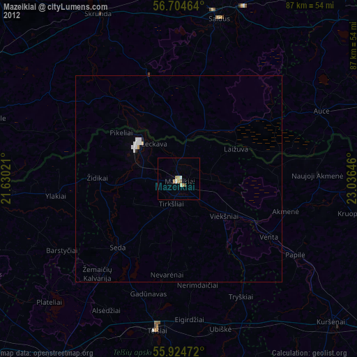
» Earth at Night: Flat Maps 2012, 2016