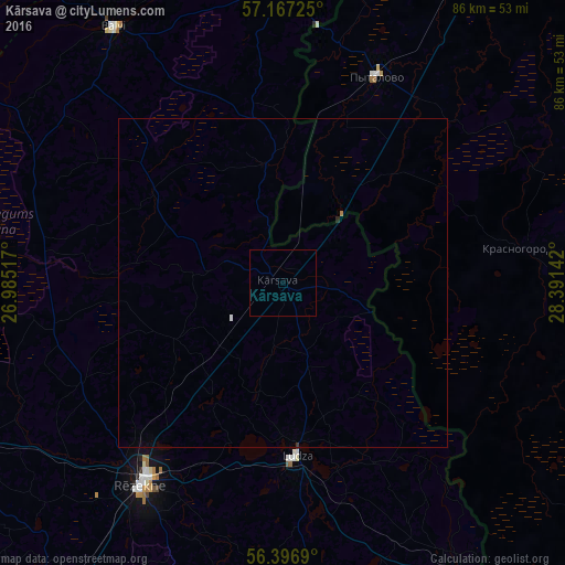
Kārsava night lights from space
Night Light of Kārsava (Karsava) from space (Latvia) Src. Average luminocity for 10x10km area is 0% and for 50x50km: 0.0712%.
Analysis of Kārsava night lights 2016
Square area 10x10 km:
 0%
0%90-99
0%80-89
0%70-79
0%60-69
0%50-59
0%40-49
0%30-39
0%20-29
0%10-19
0%0-9
100%Square area 50x50 km:
0.01%90-99
0.01%80-89
0%70-79
0.01%60-69
0.01%50-59
0%40-49
0%30-39
0.01%20-29
0.02%10-19
0%0-9
99.93%Clear (daylight) street map image can be seen on geolist.org.
Map coordinates:
57° 10' 2.1" North, 26° 59' 6.6" East
56° 47' 2.6" North, 27° 41' 17.8" East
56° 23' 48.8" North, 28° 23' 29.1" East
Some cities around Kārsava sort by population:
• Rēzekne
37.1 km =23.1 mi,  214°
214°
• Ludza
27.2 km =16.9 mi,  176°
176°
• Balvi
46.3 km =28.8 mi,  326°
326°
• Pytalovo, RU
34.4 km =21.4 mi,  23°
23°
• Viļaka
44.5 km =27.7 mi,  358°
358°
• Rugāji
41.6 km =25.8 mi,  305°
305°
• Cibla
28.7 km =17.8 mi,  155°
155°
• Baltinava
18 km =11.2 mi,  351°
351°
458972 (p: 2,645)
Sources (retrieved 2019-11-25):
» Earth at Night: Flat Maps 2012, 2016