Cibla night lights from space
Night Light of Cibla from space (Latvia) Src. Average luminocity for 10x10km area is 0% and for 50x50km: 0.3861%.
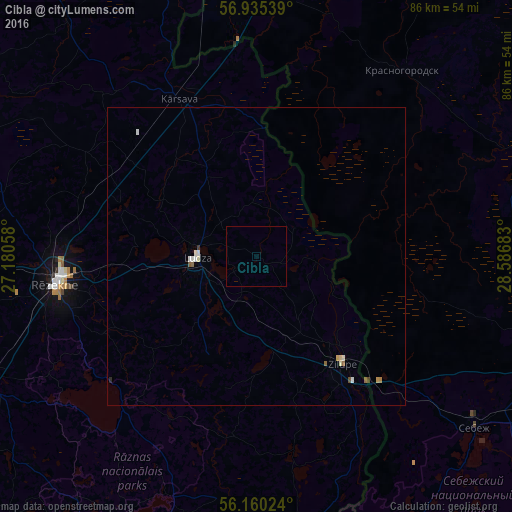
Analysis of Cibla night lights 2016
Square area 10x10 km:
100  0%
0%
90-99 0%
80-89 0%
70-79 0%
60-69 0%
50-59 0%
40-49 0%
30-39 0%
20-29 0%
10-19 0%
0-9 100%
0%90-99
0%80-89
0%70-79
0%60-69
0%50-59
0%40-49
0%30-39
0%20-29
0%10-19
0%0-9
100%Square area 50x50 km:
100 0.07%
90-99 0.11%
80-89 0.04%
70-79 0.03%
60-69 0.04%
50-59 0.08%
40-49 0.04%
30-39 0.02%
20-29 0.02%
10-19 0%
0-9 99.57%
0.07%90-99
0.11%80-89
0.04%70-79
0.03%60-69
0.04%50-59
0.08%40-49
0.04%30-39
0.02%20-29
0.02%10-19
0%0-9
99.57%Clear (daylight) street map image can be seen on geolist.org.
Map coordinates:
56° 56' 7.4" North, 27° 10' 50.1" East
56° 32' 59.3" North, 27° 53' 1.3" East
56° 9' 36.9" North, 28° 35' 12.6" East
Some cities around Cibla sort by population:
• Rēzekne
33.6 km =20.9 mi,  262°
262°
• Opochka, RU
51.1 km =31.8 mi,  69°
69°
• Ludza
10.2 km =6.3 mi, 263°
• Sebezh, RU
47.1 km =29.3 mi,  128°
128°
• Dagda
54.9 km =34.1 mi,  202°
202°
• Kārsava
28.7 km =17.8 mi,  335°
335°
• Zilupe
23.3 km =14.5 mi,  141°
141°
• Baltinava
46.2 km =28.7 mi, 341°
459984 (p: 0)
Sources (retrieved 2019-11-25):
» Earth at Night: Flat Maps 2012, 2016