Kocēni night lights from space
Night Light of Kocēni from space (Latvia) Src. Average luminocity for 10x10km area is 10.4964% and for 50x50km: 1.3725%.
Analysis of Kocēni night lights 2016
Square area 10x10 km:
100  2.86%
2.86%
90-99 2.38%
80-89 0.48%
70-79 0.95%
60-69 0.36%
50-59 0.6%
40-49 1.31%
30-39 0.12%
20-29 0.12%
10-19 12.86%
0-9 77.98%
2.86%90-99
2.38%80-89
0.48%70-79
0.95%60-69
0.36%50-59
0.6%40-49
1.31%30-39
0.12%20-29
0.12%10-19
12.86%0-9
77.98%Square area 50x50 km:
100 0.29%
90-99 0.35%
80-89 0.11%
70-79 0.13%
60-69 0.12%
50-59 0.06%
40-49 0.12%
30-39 0%
20-29 0.01%
10-19 1.27%
0-9 97.53%
0.29%90-99
0.35%80-89
0.11%70-79
0.13%60-69
0.12%50-59
0.06%40-49
0.12%30-39
0%20-29
0.01%10-19
1.27%0-9
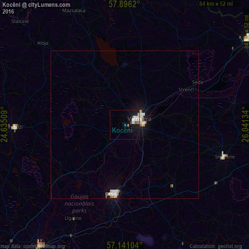
97.53%Clear (daylight) street map image can be seen on geolist.org.
Map coordinates:
57° 53' 46.3" North, 24° 38' 6.3" East
57° 31' 14.1" North, 25° 20' 17.6" East
57° 8' 27.7" North, 26° 2' 28.8" East
Some cities around Kocēni sort by population:
• Valmiera
5.8 km =3.6 mi,  66°
66°
• Cēsis
23.5 km =14.6 mi,  189°
189°
• Priekuļi
22.9 km =14.2 mi,  176°
176°
• Strenči
23.8 km =14.8 mi,  60°
60°
• Rauna
26.5 km =16.5 mi,  142°
142°
• Stalbe
24.8 km =15.4 mi,  227°
227°
• Matīši
22.5 km =14 mi,  331°
331°
• Mūrmuiža
10.6 km =6.6 mi,  119°
119°
458695 (p: 0)
Sources (retrieved 2019-11-25):
» Earth at Night: Flat Maps 2012, 2016