Alūksne night lights from space
Night Light of Alūksne (Alūksnes Novads) from space (Latvia) Src. Average luminocity for 10x10km area is 4.9364% and for 50x50km: 0.2602%.
Analysis of Alūksne night lights 2016
Square area 10x10 km:
 1.02%
1.02%90-99
1.36%80-89
0.68%70-79
1.02%60-69
0%50-59
0%40-49
0%30-39
0.11%20-29
0.34%10-19
0.45%0-9
95%Square area 50x50 km:
0.05%90-99
0.08%80-89
0.03%70-79
0.04%60-69
0.02%50-59
0%40-49
0%30-39
0%20-29
0.01%10-19
0.02%0-9
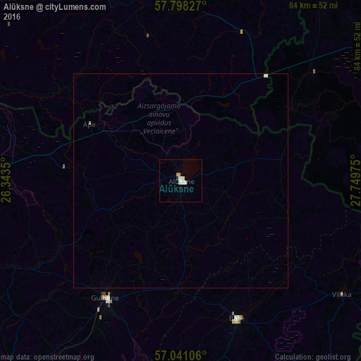
99.74%Clear (daylight) street map image can be seen on geolist.org.
Map coordinates:
57° 47' 53.8" North, 26° 20' 36.6" East
57° 25' 17.8" North, 27° 2' 47.8" East
57° 2' 27.8" North, 27° 44' 59.1" East
Some cities around Alūksne sort by population:
• Võru, EE
45.9 km =28.5 mi,  357°
357°
• Pechory, RU
55.3 km =34.4 mi,  37°
37°
• Gulbene
32.4 km =20.1 mi,  213°
213°
• Balvi
34.9 km =21.7 mi,  157°
157°
• Lubāna
60.9 km =37.8 mi,  199°
199°
• Viļaka
45.9 km =28.5 mi,  125°
125°
• Ape
24.9 km =15.5 mi,  301°
301°
• Rugāji
46.8 km =29.1 mi,  173°
173°
461528 (p: 2,264)
Sources (retrieved 2019-11-25):
» Earth at Night: Flat Maps 2012, 2016