Viļaka night lights from space
Night Light of Viļaka from space (Latvia) Src. Average luminocity for 10x10km area is 0.4024% and for 50x50km: 0.2852%.
Analysis of Viļaka night lights 2016
Square area 10x10 km:
 0%
0%90-99
0%80-89
0%70-79
0.48%60-69
0%50-59
0%40-49
0%30-39
0%20-29
0%10-19
0%0-9
99.52%Square area 50x50 km:
0.03%90-99
0.08%80-89
0.06%70-79
0.04%60-69
0.06%50-59
0.01%40-49
0%30-39
0.01%20-29
0.01%10-19
0%0-9
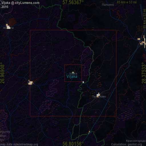
99.7%Clear (daylight) street map image can be seen on geolist.org.
Map coordinates:
57° 33' 49.2" North, 26° 58' 8.7" East
57° 11' 4.5" North, 27° 40' 19.9" East
56° 48' 5.6" North, 28° 22' 31.2" East
Some cities around Viļaka sort by population:
• Ostrov, RU
44.6 km =27.7 mi,  66°
66°
• Gulbene
55.4 km =34.4 mi,  269°
269°
• Balvi
25.2 km =15.7 mi,  256°
256°
• Pytalovo, RU
19.5 km =12.1 mi,  131°
131°
• Kārsava
44.5 km =27.7 mi,  178°
178°
• Alūksne
45.9 km =28.5 mi,  305°
305°
• Rugāji
38.3 km =23.8 mi,  238°
238°
• Baltinava
26.8 km =16.7 mi, 183°
454130 (p: 1,525)
Sources (retrieved 2019-11-25):
» Earth at Night: Flat Maps 2012, 2016