Pechory night lights from space
Night Light of Pechory (Pskov Oblast) from space (Russia) Src. Average luminocity for 10x10km area is 4.3807% and for 50x50km: 0.3051%.
Analysis of Pechory night lights 2016
Square area 10x10 km:
 0.57%
0.57%90-99
1.25%80-89
0%70-79
0.8%60-69
0.68%50-59
0.91%40-49
0.8%30-39
0%20-29
0%10-19
0%0-9
95%Square area 50x50 km:
0.03%90-99
0.08%80-89
0%70-79
0.07%60-69
0.03%50-59
0.06%40-49
0.1%30-39
0.03%20-29
0%10-19
0%0-9
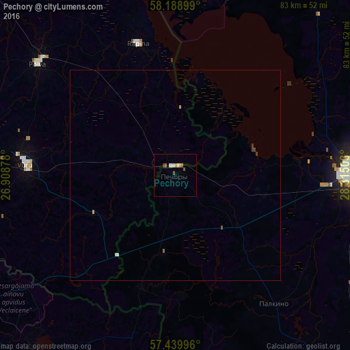
99.61%Clear (daylight) street map image can be seen on geolist.org.
Map coordinates:
58° 11' 20.4" North, 26° 54' 31.6" East
57° 48' 59.1" North, 27° 36' 42.8" East
57° 26' 23.9" North, 28° 18' 54.1" East
Some cities around Pechory sort by population:
• Pskov
43.7 km =27.2 mi,  90°
90°
• Ostrov
68.7 km =42.7 mi,  139°
139°
• Võru, EE
35.1 km =21.8 mi,  273°
273°
• Balvi, LV
78.9 km =49 mi,  195°
195°
• Põlva, EE
42 km =26.1 mi,  310°
310°
• Alūksne, LV
55.3 km =34.4 mi,  217°
217°
• Viļaka, LV
70.3 km =43.7 mi,  177°
177°
• Ape, LV
62.7 km =39 mi,  240°
240°
511785 (p: 13,246)
Sources (retrieved 2019-11-25):
» Earth at Night: Flat Maps 2012, 2016