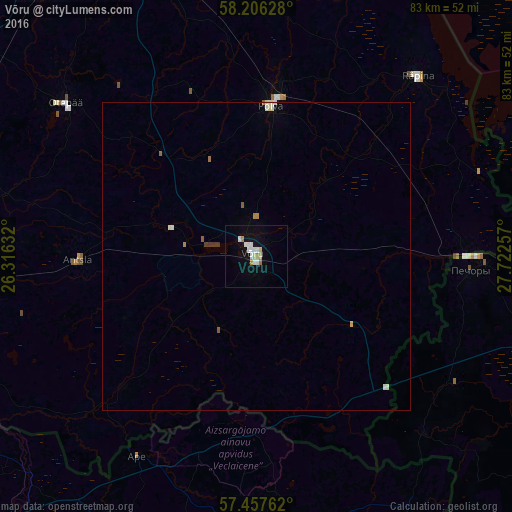
Võru night lights from space
Night Light of Võru (Võrumaa) from space (Estonia) Src. Average luminocity for 10x10km area is 10.3227% and for 50x50km: 0.7723%.
Analysis of Võru night lights 2016
Square area 10x10 km:
 2.39%
2.39%90-99
2.61%80-89
1.36%70-79
0.68%60-69
1.14%50-59
0%40-49
0%30-39
0%20-29
0%10-19
3.41%0-9
88.41%Square area 50x50 km:
0.13%90-99
0.22%80-89
0.07%70-79
0.05%60-69
0.12%50-59
0.07%40-49
0%30-39
0.09%20-29
0%10-19
0.14%0-9
99.11%Clear (daylight) street map image can be seen on geolist.org.
Map coordinates:
58° 12' 22.6" North, 26° 18' 58.8" East
57° 50' 2" North, 27° 1' 10" East
57° 27' 27.4" North, 27° 43' 21.3" East
Some cities around Võru sort by population:
• Tartu
63.2 km =39.3 mi,  344°
344°
• Valga
57.9 km =36 mi,  263°
263°
• Pechory, RU
35.1 km =21.8 mi,  93°
93°
• Valka, LV
60.1 km =37.3 mi, 263°
• Põlva
25.3 km =15.7 mi,  6°
6°
• Elva
55.7 km =34.6 mi,  320°
320°
• Alūksne, LV
45.9 km =28.5 mi,  177°
177°
• Ape, LV
38.1 km =23.7 mi,  210°
210°
587450 (p: 14,631)
Sources (retrieved 2019-11-25):
» Earth at Night: Flat Maps 2012, 2016