Vaiņode night lights from space
Night Light of Vaiņode from space (Latvia) Src. Average luminocity for 10x10km area is 0% and for 50x50km: 0.4338%.
Analysis of Vaiņode night lights 2016
Square area 10x10 km:
100  0%
0%
90-99 0%
80-89 0%
70-79 0%
60-69 0%
50-59 0%
40-49 0%
30-39 0%
20-29 0%
10-19 0%
0-9 100%
0%90-99
0%80-89
0%70-79
0%60-69
0%50-59
0%40-49
0%30-39
0%20-29
0%10-19
0%0-9
100%Square area 50x50 km:
100 0.11%
90-99 0.12%
80-89 0.02%
70-79 0.01%
60-69 0.02%
50-59 0.02%
40-49 0.03%
30-39 0.02%
20-29 0.01%
10-19 0.12%
0-9 99.51%
0.11%90-99
0.12%80-89
0.02%70-79
0.01%60-69
0.02%50-59
0.02%40-49
0.03%30-39
0.02%20-29
0.01%10-19
0.12%0-9
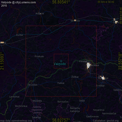
99.51%Clear (daylight) street map image can be seen on geolist.org.
Map coordinates:
56° 48' 19.5" North, 21° 9' 3.3" East
56° 25' 6.5" North, 21° 51' 14.6" East
56° 1' 39.3" North, 22° 33' 25.8" East
Some cities around Vaiņode sort by population:
• Mazeikiai, LT
31.6 km =19.6 mi,  110°
110°
• Saldus
47.5 km =29.5 mi,  54°
54°
• Skuodas, LT
25.8 km =16 mi,  230°
230°
• Aizpute
37 km =23 mi,  335°
335°
• Grobiņa
44.1 km =27.4 mi,  287°
287°
• Skrunda
30.5 km =19 mi,  19°
19°
• Priekule
16.6 km =10.3 mi,  280°
280°
• Lieģi
36.7 km =22.8 mi,  299°
299°
454602 (p: 0)
Sources (retrieved 2019-11-25):
» Earth at Night: Flat Maps 2012, 2016