Kuršėnai night lights from space
Night Light of Kuršėnai (Siauliai) from space (Lithuania) Src. Average luminocity for 10x10km area is 1.2481% and for 50x50km: 1.6185%.
Analysis of Kuršėnai night lights 2016
Square area 10x10 km:
 0%
0%90-99
0%80-89
0%70-79
0%60-69
1%50-59
0%40-49
0.75%30-39
0.25%20-29
0%10-19
0%0-9
97.99%Square area 50x50 km:
0.5%90-99
0.43%80-89
0.08%70-79
0.07%60-69
0.12%50-59
0.05%40-49
0.03%30-39
0.08%20-29
0.58%10-19
1.31%0-9
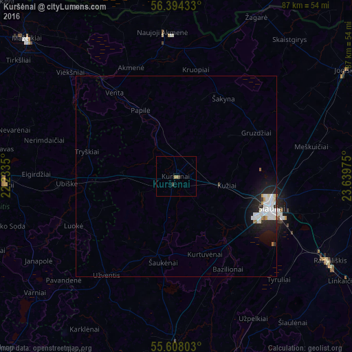
96.76%Clear (daylight) street map image can be seen on geolist.org.
Map coordinates:
56° 23' 39.6" North, 22° 14' 0.6" East
56° 0' 11.4" North, 22° 56' 11.8" East
55° 36' 28.9" North, 23° 38' 23.1" East
Some cities around Kuršėnai sort by population:
• Šiauliai
24.9 km =15.5 mi,  108°
108°
• Mazeikiai
51.1 km =31.8 mi,  313°
313°
• Telsiai
42.9 km =26.7 mi,  266°
266°
• Radviliskis
42.6 km =26.5 mi,  119°
119°
• Naujoji Akmene
34.9 km =21.7 mi,  356°
356°
• Joniškis
49.6 km =30.8 mi,  58°
58°
• Kelmė
41.5 km =25.8 mi,  180°
180°
• Auce, LV
50.8 km =31.6 mi, 357°
597769 (p: 13,914)
Sources (retrieved 2019-11-25):
» Earth at Night: Flat Maps 2012, 2016