Gandorhun night lights from space
Night Light of Gandorhun (Southern Province) from space (Sierra Leone) Src. Average luminocity for 10x10km area is 0% and for 50x50km: 0%.
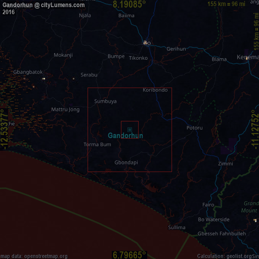
Analysis of Gandorhun night lights 2016
Square area 10x10 km:
 0%
0%90-99
0%80-89
0%70-79
0%60-69
0%50-59
0%40-49
0%30-39
0%20-29
0%10-19
0%0-9
100%Square area 50x50 km:
0%90-99
0%80-89
0%70-79
0%60-69
0%50-59
0%40-49
0%30-39
0%20-29
0%10-19
0%0-9
100%Clear (daylight) street map image can be seen on geolist.org.
Map coordinates:
8° 11' 27.1" North, 12° 32' 1.6" West
7° 29' 39.5" North, 11° 49' 50.3" West
6° 47' 47.9" North, 11° 7' 39.1" West
Some cities around Gandorhun sort by population:
• Bo
53.3 km =33.1 mi,  11°
11°
• Bumpe
45 km =28 mi,  349°
349°
• Pujehun
19.4 km =12.1 mi,  141°
141°
• Sumbuya
22.3 km =13.9 mi,  320°
320°
• Baoma
56.9 km =35.4 mi, 12°
• Foindu
33.1 km =20.6 mi,  106°
106°
• Bomi
43.5 km =27 mi,  129°
129°
• Mamboma
67.8 km =42.1 mi, 13°
2409215 (p: 10,678)
Sources (retrieved 2019-11-25):
» Earth at Night: Flat Maps 2012, 2016