Beruwala night lights from space
Night Light of Beruwala (Western) from space (Sri Lanka) Src. Average luminocity for 10x10km area is 8.4459% and for 50x50km: 2.1251%.
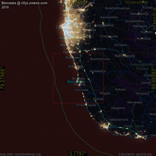
Analysis of Beruwala night lights 2016
Square area 10x10 km:
 0%
0%90-99
0.87%80-89
0.43%70-79
0.87%60-69
0.87%50-59
4.55%40-49
1.95%30-39
2.16%20-29
0.87%10-19
0.87%0-9
86.58%Square area 50x50 km:
0.03%90-99
0.15%80-89
0.15%70-79
0.25%60-69
0.33%50-59
0.38%40-49
0.52%30-39
0.73%20-29
0.53%10-19
0.78%0-9
96.17%Clear (daylight) street map image can be seen on geolist.org.
Map coordinates:
7° 10' 36.9" North, 79° 16' 46.8" East
6° 28' 43.7" North, 79° 58' 58.1" East
5° 46' 46.9" North, 80° 41' 9.3" East
Some cities around Beruwala sort by population:
• Moratuwa
34.6 km =21.5 mi,  341°
341°
• Kalutara
11.9 km =7.4 mi,  347°
347°
• Bentota
6 km =3.7 mi,  166°
166°
• Homagama
40.7 km =25.3 mi,  3°
3°
• Panadura
27.5 km =17.1 mi, 341°
• Ambalangoda
28.2 km =17.5 mi,  163°
163°
• Horana South
27.8 km =17.3 mi,  18°
18°
• Horawala Junction
15.9 km =9.9 mi,  89°
89°
1249931 (p: 34,250)
Sources (retrieved 2019-11-25):
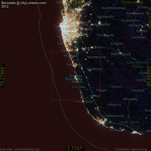
» Earth at Night: Flat Maps 2012, 2016