Ampara night lights from space
Night Light of Ampara (Eastern Province) from space (Sri Lanka) Src. Average luminocity for 10x10km area is 7.7814% and for 50x50km: 3.38%.
Analysis of Ampara night lights 2016
Square area 10x10 km:
 0%
0%90-99
0%80-89
1.73%70-79
0.87%60-69
0.87%50-59
2.6%40-49
2.6%30-39
1.3%20-29
3.25%10-19
0.65%0-9
86.15%Square area 50x50 km:
0.02%90-99
0.33%80-89
0.48%70-79
0.52%60-69
0.55%50-59
0.53%40-49
0.59%30-39
0.82%20-29
0.53%10-19
1.38%0-9
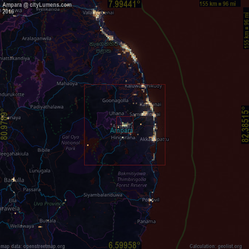
94.25%Clear (daylight) street map image can be seen on geolist.org.
Map coordinates:
7° 59' 39.9" North, 80° 58' 44" East
7° 17' 51.1" North, 81° 40' 55.3" East
6° 35' 58.5" North, 82° 23' 6.5" East
Some cities around Ampara sort by population:
• Kalmunai
20.9 km =13 mi,  53°
53°
• Batticaloa
45.9 km =28.5 mi,  1°
1°
• Badulla
77.4 km =48.1 mi,  242°
242°
• Eravur Town
54.1 km =33.6 mi,  350°
350°
• Vakarai
96.9 km =60.2 mi,  343°
343°
• Monaragala
60 km =37.3 mi,  217°
217°
• Wellawaya
89.3 km =55.5 mi,  225°
225°
• Wattegama
59.7 km =37.1 mi,  201°
201°
1251459 (p: 18,348)
Sources (retrieved 2019-11-25):
» Earth at Night: Flat Maps 2012, 2016