Wattegama night lights from space
Night Light of Wattegama (Uva) from space (Sri Lanka) Src. Average luminocity for 10x10km area is 0% and for 50x50km: 0.0511%.
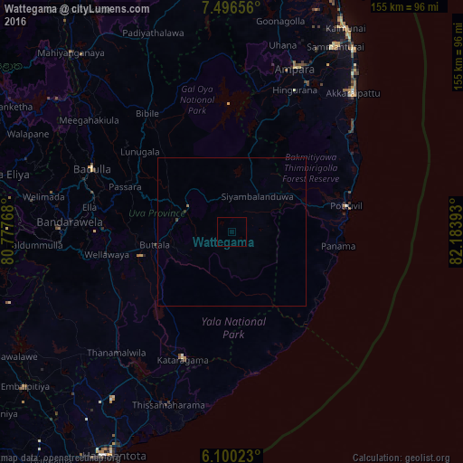
Analysis of Wattegama night lights 2016
Square area 10x10 km:
 0%
0%90-99
0%80-89
0%70-79
0%60-69
0%50-59
0%40-49
0%30-39
0%20-29
0%10-19
0%0-9
100%Square area 50x50 km:
0%90-99
0%80-89
0%70-79
0%60-69
0.03%50-59
0%40-49
0.03%30-39
0.03%20-29
0%10-19
0%0-9
99.9%Clear (daylight) street map image can be seen on geolist.org.
Map coordinates:
7° 29' 47.6" North, 80° 46' 39.6" East
6° 47' 56" North, 81° 28' 50.9" East
6° 6' 0.8" North, 82° 11' 2.1" East
Some cities around Wattegama sort by population:
• Kalmunai
78.3 km =48.7 mi,  29°
29°
• Badulla
50.9 km =31.6 mi,  293°
293°
• Nuwara Eliya
79.4 km =49.3 mi,  283°
283°
• Kataragama
45.8 km =28.5 mi,  200°
200°
• Ampara
59.7 km =37.1 mi,  21°
21°
• Hatton
98.3 km =61.1 mi, 276°
• Monaragala
16.7 km =10.4 mi,  298°
298°
• Wellawaya
42.3 km =26.3 mi,  260°
260°
1224061 (p: 8,000)
Sources (retrieved 2019-11-25):
» Earth at Night: Flat Maps 2012, 2016