Vaduz night lights from space
Night Light of Vaduz from space (Liechtenstein) Src. Average luminocity for 10x10km area is 16.2741% and for 50x50km: 4.3814%.
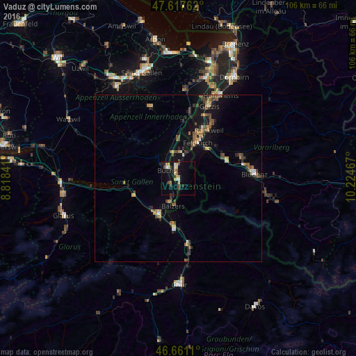
Analysis of Vaduz night lights 2016
Square area 10x10 km:
100  0.43%
0.43%
90-99 3.41%
80-89 1.85%
70-79 2.27%
60-69 2.7%
50-59 0.99%
40-49 2.84%
30-39 1.7%
20-29 2.41%
10-19 15.06%
0-9 66.34%
0.43%90-99
3.41%80-89
1.85%70-79
2.27%60-69
2.7%50-59
0.99%40-49
2.84%30-39
1.7%20-29
2.41%10-19
15.06%0-9
66.34%Square area 50x50 km:
100 0.15%
90-99 0.41%
80-89 0.28%
70-79 0.67%
60-69 0.8%
50-59 0.79%
40-49 0.95%
30-39 0.81%
20-29 0.7%
10-19 3.34%
0-9 91.1%
0.15%90-99
0.41%80-89
0.28%70-79
0.67%60-69
0.8%50-59
0.79%40-49
0.95%30-39
0.81%20-29
0.7%10-19
3.34%0-9
91.1%Clear (daylight) street map image can be seen on geolist.org.
Map coordinates:
47° 37' 3.4" North, 8° 49' 6.3" East
47° 8' 29.4" North, 9° 31' 17.5" East
46° 39' 40" North, 10° 13' 28.8" East
Some cities around Vaduz sort by population:
• Buchs, CH
4.4 km =2.7 mi,  311°
311°
• Grabs, CH
7.4 km =4.6 mi, 307°
• Schaan
2.8 km =1.7 mi,  339°
339°
• Triesen
3.8 km =2.4 mi,  172°
172°
• Balzers
8.4 km =5.2 mi,  189°
189°
• Eschen
7.7 km =4.8 mi,  0°
0°
• Triesenberg
3 km =1.9 mi,  149°
149°
• Planken
5.2 km =3.2 mi,  19°
19°
3042030 (p: 5,197)
Sources (retrieved 2019-11-25):
» Earth at Night: Flat Maps 2012, 2016