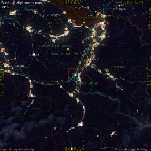
Buchs night lights from space
Night Light of Buchs (Saint Gallen) from space (Switzerland) Src. Average luminocity for 10x10km area is 17.7158% and for 50x50km: 4.733%.
Analysis of Buchs night lights 2016
Square area 10x10 km:
 0.45%
0.45%90-99
4.32%80-89
2.08%70-79
2.98%60-69
3.13%50-59
1.93%40-49
2.38%30-39
0.3%20-29
2.38%10-19
20.39%0-9
59.67%Square area 50x50 km:
0.12%90-99
0.4%80-89
0.33%70-79
0.77%60-69
0.86%50-59
0.8%40-49
0.93%30-39
0.8%20-29
0.83%10-19
4.3%0-9
89.85%Clear (daylight) street map image can be seen on geolist.org.
Map coordinates:
47° 38' 35.9" North, 8° 46' 29.3" East
47° 10' 2.7" North, 9° 28' 40.6" East
46° 41' 14.1" North, 10° 10' 51.9" East
Some cities around Buchs sort by population:
• Grabs
3.1 km =1.9 mi,  303°
303°
• Schaan, LI
2.3 km =1.4 mi,  96°
96°
• Vaduz, LI
4.4 km =2.7 mi,  131°
131°
• Eschen, LI
5.9 km =3.7 mi,  34°
34°
• Mauren, LI
7.5 km =4.7 mi,  41°
41°
• Triesenberg, LI
7.3 km =4.5 mi,  138°
138°
• Gamprin, LI
6.3 km =3.9 mi,  21°
21°
• Planken, LI
5.4 km =3.4 mi,  68°
68°
2661349 (p: 10,418)
Sources (retrieved 2019-11-25):
» Earth at Night: Flat Maps 2012, 2016