Ra’s Bayrūt night lights from space
Night Light of Ra’s Bayrūt (Beyrouth) from space (Lebanon) Src. Average luminocity for 10x10km area is 51.9161% and for 50x50km: 34.5375%.
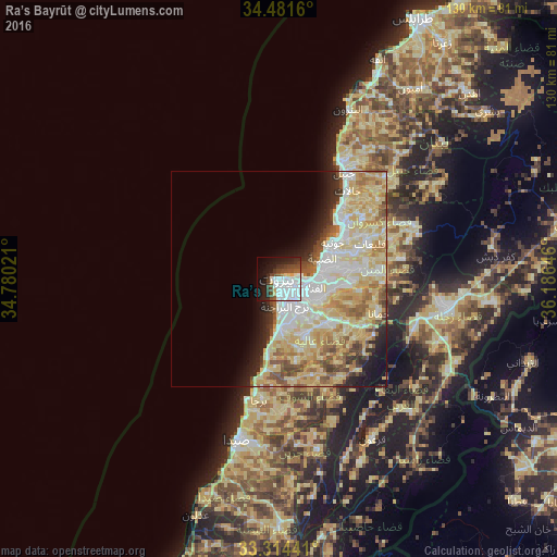
Analysis of Ra’s Bayrūt night lights 2016
Square area 10x10 km:
 25.35%
90-99
8.22%80-89
3.15%70-79
1.05%60-69
0.7%50-59
4.55%40-49
9.09%30-39
5.77%20-29
10.66%10-19
20.8%0-9
10.66%Square area 50x50 km:
7.04%90-99
7.34%80-89
10.83%70-79
4.67%60-69
3.45%50-59
3.46%40-49
2.83%30-39
1.67%20-29
3.5%10-19
5.04%0-9
50.16%Clear (daylight) street map image can be seen on geolist.org.
Map coordinates:
34° 28' 53.8" North, 34° 46' 48.8" East
33° 54' 0" North, 35° 28' 60" East
33° 18' 51.9" North, 36° 11' 11.3" East
Some cities around Ra’s Bayrūt sort by population:
• Beirut
1.8 km =1.1 mi,  113°
113°
• Sidon
39.5 km =24.5 mi,  195°
195°
• Jounieh
15.3 km =9.5 mi,  54°
54°
• Zahlé
39.1 km =24.3 mi,  98°
98°
• Ghazieh
43.8 km =27.2 mi,  193°
193°
• Jbaïl
28.9 km =18 mi,  31°
31°
• Batroûn
42.7 km =26.5 mi,  22°
22°
• Baabda
9.3 km =5.8 mi,  142°
142°
268743 (p: 1,251,739)
Sources (retrieved 2019-11-25):
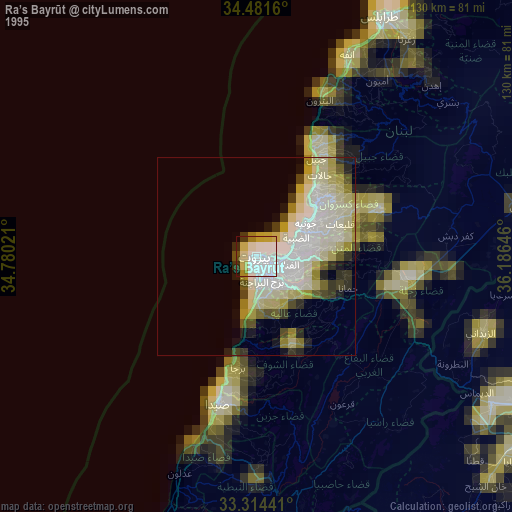
» NASA, Earths city lights 1995
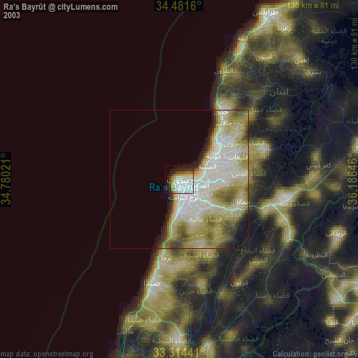
» NASA city lights 2003
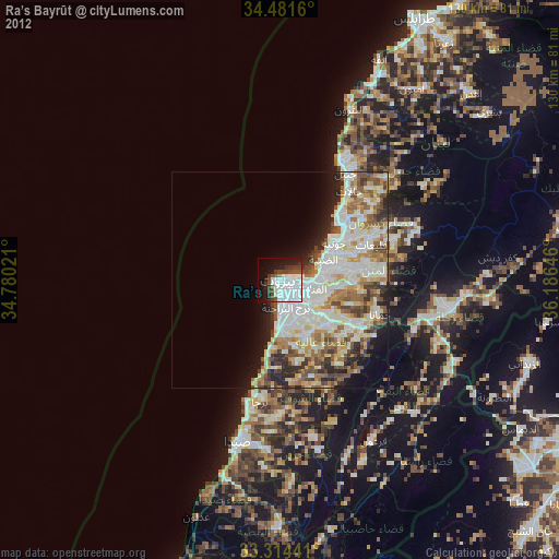
» Earth at Night: Flat Maps 2012, 2016