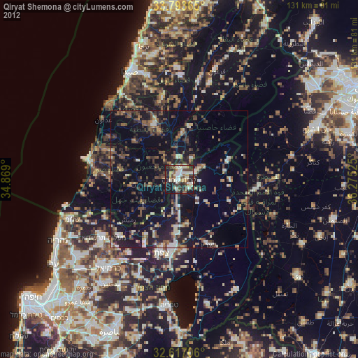
Qiryat Shemona night lights from space
Night Light of Qiryat Shemona (Northern District) from space (Israel) Src. Average luminocity for 10x10km area is 62.3829% and for 50x50km: 30.9952%.

Analysis of Qiryat Shemona night lights 2016
Square area 10x10 km:
 5.94%
5.94%90-99
10.14%80-89
14.16%70-79
11.71%60-69
9.09%50-59
7.34%40-49
23.78%30-39
10.14%20-29
7.52%10-19
0.17%0-9
0%Square area 50x50 km:
0.75%90-99
1.21%80-89
7.17%70-79
4.07%60-69
3.71%50-59
5.28%40-49
11.27%30-39
9.26%20-29
13.95%10-19
15.31%0-9
28.01%Clear (daylight) street map image can be seen on geolist.org.
Map coordinates:
33° 47' 37.1" North, 34° 52' 8.4" East
33° 12' 26.4" North, 35° 34' 19.6" East
32° 37' 1.4" North, 36° 16' 30.9" East
Some cities around Qiryat Shemona sort by population:
• Nabatîyé et Tahta, LB
20.8 km =12.9 mi,  336°
336°
• Habboûch, LB
23.8 km =14.8 mi, 339°
• Al Qunayţirah, SY
25.2 km =15.7 mi,  111°
111°
• Safed
27.9 km =17.3 mi,  194°
194°
• maalot Tarshīhā
35.5 km =22.1 mi,  233°
233°
• Beit Jann
32.3 km =20.1 mi,  213°
213°
• Ḥurfeish
29.7 km =18.5 mi,  224°
224°
• Buqei‘a
33.9 km =21.1 mi, 221°
293825 (p: 22,035)
Sources (retrieved 2019-11-25):
» Earth at Night: Flat Maps 2012, 2016