Uvel’skiy night lights from space
Night Light of Uvel’skiy (Chelyabinsk) from space (Russia) Src. Average luminocity for 10x10km area is 9.3266% and for 50x50km: 1.0433%.
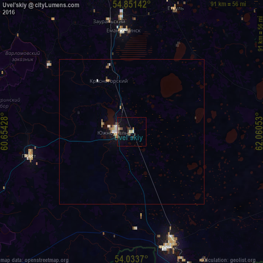
Analysis of Uvel’skiy night lights 2016
Square area 10x10 km:
 0.96%
0.96%90-99
1.32%80-89
0.6%70-79
1.44%60-69
0.6%50-59
1.32%40-49
1.79%30-39
2.51%20-29
0.48%10-19
5.62%0-9
83.37%Square area 50x50 km:
0.15%90-99
0.12%80-89
0.11%70-79
0.15%60-69
0.1%50-59
0.18%40-49
0.13%30-39
0.12%20-29
0.08%10-19
0.62%0-9
98.22%Clear (daylight) street map image can be seen on geolist.org.
Map coordinates:
54° 51' 5.1" North, 60° 39' 15.4" East
54° 26' 40.6" North, 61° 21' 26.6" East
54° 2' 1.3" North, 62° 3' 37.9" East
Some cities around Uvel’skiy sort by population:
• Troitsk
41.1 km =25.5 mi,  159°
159°
• Korkino
49.7 km =30.9 mi,  2°
2°
• Yuzhnoural’sk
6.7 km =4.2 mi,  267°
267°
• Yemanzhelinsk
34.6 km =21.5 mi,  356°
356°
• Plast
36.2 km =22.5 mi,  256°
256°
• Roza
52.9 km =32.9 mi,  7°
7°
• Krasnogorskiy
19.4 km =12.1 mi,  335°
335°
• Yetkul’
44.5 km =27.7 mi,  19°
19°
1487933 (p: 11,293)
Sources (retrieved 2019-11-25):
» Earth at Night: Flat Maps 2012, 2016