Yuzhnoural’sk night lights from space
Night Light of Yuzhnoural’sk (Chelyabinsk) from space (Russia) Src. Average luminocity for 10x10km area is 16.6136% and for 50x50km: 1.1282%.
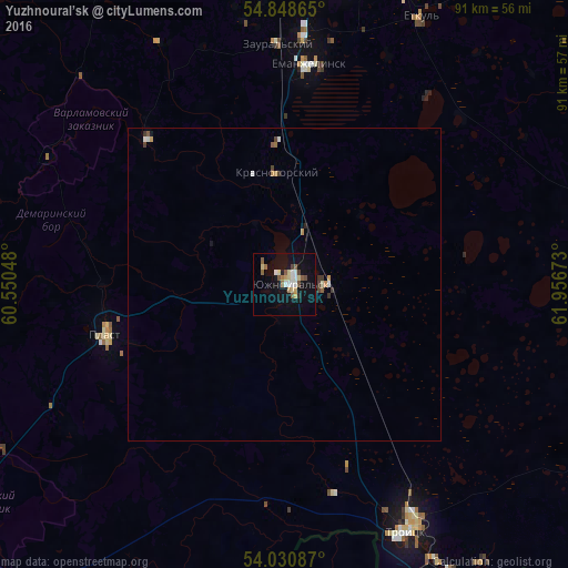
Analysis of Yuzhnoural’sk night lights 2016
Square area 10x10 km:
 2.63%
2.63%90-99
2.03%80-89
2.51%70-79
1.79%60-69
1.44%50-59
3.47%40-49
1.79%30-39
0.12%20-29
0.96%10-19
14%0-9
69.26%Square area 50x50 km:
0.16%90-99
0.14%80-89
0.11%70-79
0.17%60-69
0.1%50-59
0.19%40-49
0.14%30-39
0.15%20-29
0.07%10-19
0.64%0-9
98.1%Clear (daylight) street map image can be seen on geolist.org.
Map coordinates:
54° 50' 55.1" North, 60° 33' 1.7" East
54° 26' 30.5" North, 61° 15' 13" East
54° 1' 51.1" North, 61° 57' 24.2" East
Some cities around Yuzhnoural’sk sort by population:
• Troitsk
43.6 km =27.1 mi,  151°
151°
• Korkino
50.8 km =31.6 mi,  10°
10°
• Yemanzhelinsk
35.1 km =21.8 mi, 7°
• Plast
29.6 km =18.4 mi,  254°
254°
• Roza
54.4 km =33.8 mi, 14°
• Krasnogorskiy
17.9 km =11.1 mi,  355°
355°
• Uvel’skiy
6.7 km =4.2 mi,  87°
87°
• Yetkul’
47.4 km =29.5 mi,  26°
26°
1485634 (p: 39,200)
Sources (retrieved 2019-11-25):
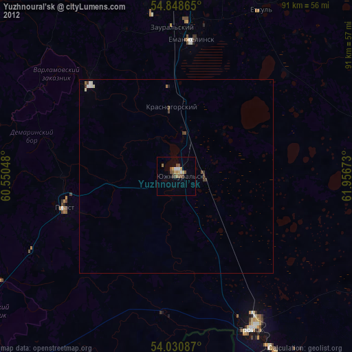
» Earth at Night: Flat Maps 2012, 2016