Aqsay night lights from space
Night Light of Aqsay (Batys Qazaqstan) from space (Kazakhstan) Src. Average luminocity for 10x10km area is 18.373% and for 50x50km: 1.0849%.
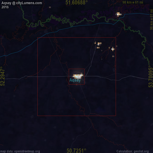
Analysis of Aqsay night lights 2016
Square area 10x10 km:
 4.14%
4.14%90-99
4.14%80-89
1.87%70-79
1.07%60-69
2.01%50-59
0.67%40-49
1.6%30-39
0.94%20-29
1.2%10-19
16.58%0-9
65.78%Square area 50x50 km:
0.18%90-99
0.22%80-89
0.08%70-79
0.12%60-69
0.13%50-59
0.07%40-49
0.15%30-39
0.04%20-29
0.19%10-19
0.72%0-9
98.11%Clear (daylight) street map image can be seen on geolist.org.
Map coordinates:
51° 36' 24.8" North, 52° 17' 40.9" East
51° 10' 5.2" North, 52° 59' 52.2" East
50° 43' 30.4" North, 53° 42' 3.4" East
Some cities around Aqsay sort by population:
• Oral
113.9 km =70.8 mi,  273°
273°
• Novosergiyevka, RU
112.4 km =69.8 mi,  23°
23°
• Ilek, RU
48.1 km =29.9 mi,  33°
33°
• Tashla, RU
69.4 km =43.1 mi,  345°
345°
• Dzhambeyty
105.2 km =65.4 mi,  195°
195°
• Chingirlau
76.2 km =47.3 mi,  95°
95°
• Krasnokholm, RU
93.5 km =58.1 mi,  59°
59°
• Fedorovka
72.7 km =45.2 mi, 274°
610613 (p: 34,799)
Sources (retrieved 2019-11-25):
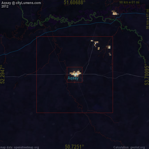
» Earth at Night: Flat Maps 2012, 2016